Těchobuz
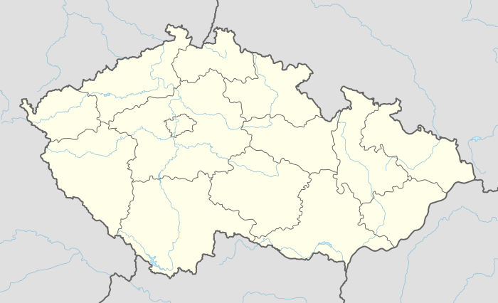
Těchobuz is a village and municipality (obec) in Pelhřimov District in the Vysočina Region of the Czech Republic.
Těchobuz | |
|---|---|
Municipality | |
.jpg) Těchobuz Palace | |
 Těchobuz | |
| Coordinates: 49°30′48″N 14°55′51″E | |
| Country | |
| Region | Vysočina |
| District | Pelhřimov |
| Area | |
| • Total | 7.21 km2 (2.78 sq mi) |
| Elevation | 537 m (1,762 ft) |
| Population (1.1.2014) | |
| • Total | 130 |
| • Density | 18/km2 (47/sq mi) |
| Postal code | 394 31 to 395 01 |
| Website | http://www.techobuz.cz/ |
The municipality covers an area of 7.21 square kilometres (2.78 sq mi), and has a population of 134 (as at 28 August 2006).
Těchobuz lies approximately 23 kilometres (14 mi) north-west of Pelhřimov, 50 km (31 mi) west of Jihlava, and 74 km (46 mi) south-east of Prague.
History
The first written record about Těchobuz comes from 1352.
Sights
- St. Mark's Church (Těchobuz)
- St. John Nepoomuk's Chapel (Těchobuz)
- Těchobuz palace
- Elementary school
- Granary
Gallery
 Main road with houses
.jpg) Infocenter
Infocenter.jpg) Village square
Village square
gollark: I only need that to exist there to automatically close the DB connection on thread exit.
gollark: I just decided to do `when defined(onThreadDestruction):`.
gollark: Hmm, how do I use `when` to check if something is compiled with `--threads:on`?
gollark: I'm basically making a thing which has a DB connection in a thread-local variable, but unfortunately this produces 1984618294 simultaneous bee.
gollark: Hmm, I appear to have fixed it unfathomably?
This article is issued from Wikipedia. The text is licensed under Creative Commons - Attribution - Sharealike. Additional terms may apply for the media files.