Slopná
Slopná (Hungarian: Szolopna) is a village and municipality in Považská Bystrica District in the Trenčín Region of north-western Slovakia.
Slopná | |
|---|---|
Municipality | |
 St. Andrew's Church | |
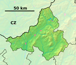 Slopná Location of Slopná in the Trenčín Region  Slopná Slopná (Slovakia) | |
| Coordinates: 49°03′N 18°24′E | |
| Country | Slovakia |
| Region | Trenčín |
| District | Považská Bystrica |
| First mentioned | 1277 |
| Area | |
| • Total | 7.642 km2 (2.951 sq mi) |
| Elevation | 310 m (1,020 ft) |
| Population | |
| • Total | 491 |
| • Density | 64/km2 (170/sq mi) |
| Postal code | 018 21 (pošta Dolný Lieskov) |
| Area code(s) | 421-42 |
| Car plate | PB |
| Website | www.slopna.sk |
History
In historical records the village was first mentioned in 1277.
Geography
The municipality lies at an altitude of 310 metres and covers an area of 7.642 km². It has a population of about 491 people.
gollark: There are still building-material mods.
gollark: Dynmap can sort of do that.
gollark: I find vanilla kind of boring myself, personally.
gollark: I see. As a mod-liking person, I'd generally prefer 1.12.2 with probably about 30 random tech/magic/utility/whatever else mods, but eh.
gollark: Wait, what mods will this server have? And version?
External links
![]()
Municipalities of Považská Bystrica District | ||
|---|---|---|
This article is issued from Wikipedia. The text is licensed under Creative Commons - Attribution - Sharealike. Additional terms may apply for the media files.