Skútustaðahreppur
Skútustaðahreppur is a rural municipality located in East Iceland, in Northeastern Region. Its seat is in the village of Reykjahlíð.
| Skútustaðahreppur | |
|---|---|
 Coat of arms of Skútustaðahreppur | |
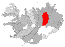 Location of Skútustaðahreppur | |
 Skútustaðahreppur | |
| Region | Northeastern Region |
| Constituency | Northeast Constituency |
| Manager | Jón Óskar Pétursson |
| Area | 6,036 km2 (2,331 sq mi) |
| Population | 399 |
| Density | 0.07/km2 (0.18/sq mi) |
| Municipal number | 6607 |
| Postal code(s) | 660 |
| Website | myv |
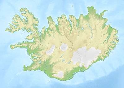
Geography
Skútustaðir is one of the largest Icelandic municipalities. Its southern borders are represented by the northern site of the glacier of Vatnajökull. Its territory includes the lakes of Mývatn (in front of Reykjahlíð) and Öskjuvatn; and the volcanoes of Hverfjall, Askja, Krafla and Herðubreið.
Photogallery
.jpg) The Blue Lagoon in Mývatn
The Blue Lagoon in Mývatn.jpg) The Drekagil (canyon of dragons) in Askja
The Drekagil (canyon of dragons) in Askja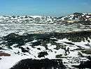 Aerial view of Krafla
gollark: Anyway, the incentives of TikTok and stuff are to drive the maximum amount of user time to show adverts, regardless of whether they actually want or benefit from this.
gollark: Ah, yes, I remember reading the TVTropes page and deciding that it sounded bad.
gollark: No.
gollark: That seems intensely æææææææÆÆÆÆÆÆÆÆÆÆæÆÆÆÆÆÆææÆÆÆÆæææÆÆÆÆÆÆÆÆæææa.
gollark: Well, if you're bored, you could do other things then too, see.
References
External links
![]()
- Official website (in Icelandic)
This article is issued from Wikipedia. The text is licensed under Creative Commons - Attribution - Sharealike. Additional terms may apply for the media files.