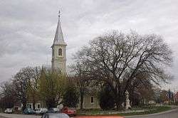
Sekule
Sekule is a village and municipality in Senica District in the Trnava Region of western Slovakia.
Sekule | |
|---|---|
Village | |
 | |
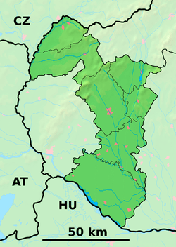 Sekule Location of Sekule in the Trnava Region  Sekule Sekule (Slovakia) | |
| Coordinates: 48°36′N 17°00′E | |
| Country | Slovakia |
| Region | Trnava |
| District | Senica |
| First mentioned | 1402 |
| Area | |
| • Total | 23.49 km2 (9.07 sq mi) |
| Elevation | 153 m (502 ft) |
| Population (2004-12-31) | |
| • Total | 1,633 |
| • Density | 70/km2 (180/sq mi) |
| Time zone | CET (UTC+1) |
| • Summer (DST) | CEST (UTC+2) |
| Postal code | 908 80 |
| Area code(s) | +421-34 |
| Car plate | SE |
| Website | www.obecsekule.sk |
Etymology
The name is derived from the ethnonym Székelys (Slovak: Sikuli), one of the tribes who guarded the frontier area.[1]
History
In historical records the village was first mentioned in 1402.
Geography
The municipality lies at an altitude of 153 metres and covers an area of 23.492 km². It has a population of about 1,633 people.
gollark: NMS?
gollark: Correction: 362.
gollark: Wait, why do you have 363 pings?
gollark: Still quite small, though.
gollark: The interior picture does make it look bigger.
References
- Závodný, Andrej (2007). "O názvoch riek a potokov na Záhorí" [About the river and creek names in Záhorie]. Záhorie (in Slovak). SKalica: Záhorské múzeum v Skalici (1). Archived from the original on 2017-05-10.
This article is issued from Wikipedia. The text is licensed under Creative Commons - Attribution - Sharealike. Additional terms may apply for the media files.