Satema
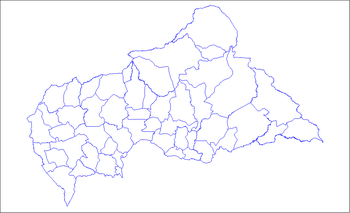
Satema is a sub-prefecture of Basse-Kotto in the Central African Republic.[1][2]
Satema | |
|---|---|
| Country | |
Geography
The city is located on the right bank and facing the rapids of the Ubangi River which is the border with Congo DRC . Towards the North, a rural track connects the locality with the RN2 national road at the locality of Dimbi.
History
The August 15, 1891, during the Gaillard expedition, the gunboat Le Ballay sinks in the rapids of Satéma.[3] The administrative control point of Satema is created on July 9 , 1982 in the municipality of Kotto-Oubangui. In 2002, the locality is erected in sub-prefecture.
Economy
The sub-prefecture is located in a zone of maize, cassava, peanut and rice food crops. Commercial crops are cotton, tobacco and coffee.[4]
gollark: (I can't really switch anyway right now because Nvidia, but you know)
gollark: Why do people Wayland anyway? Does it offer much over X?
gollark: I have a vague idea for how I'd design a "better" protocol, but it's got a bunch of unresolved details and would likely have even fewer users.
gollark: IRCv3 could be good if anyone actually supported it.
gollark: Haven't looked much but it seems to also be convoluted and have way too many extensions.
References
- "Satema". AccuWeather. Retrieved 5 June 2018.
- "Satema". Geographical Names. Retrieved 5 June 2018.
- Maurice Saragba, De l'Oubangui-Chari à la République centrafricaine
- Commission nationale de la coopération décentralisée, Projet: Favoriser l'accès à l'eau potable, 2009
This article is issued from Wikipedia. The text is licensed under Creative Commons - Attribution - Sharealike. Additional terms may apply for the media files.
