Bambouti
Bambouti is a sub-prefecture of Haut-Mbomou in the Central African Republic.[1][2]
Bambouti | |
|---|---|
| Country | |
Geography
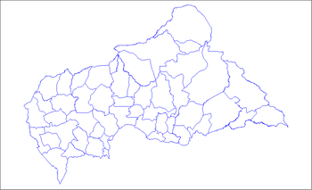
It is located on the RN2 national road 110 km east of the capital of Haut-Mbomou: Obo, near the border between the Central African Republic and South Sudan.
History
On May 2, 2002, the locality is erected in chief town of sub-prefecture of Haut-Mbomou, by the separation of the eastern part of the sub-prefecture of Obo. At the end of 2015, the locality receives refugees from South Sudan, nearby.[3]
gollark: If it's meaning to say things like that it should say them.
gollark: What? This is a regression method.
gollark: I dislike this.
gollark: Aging is. Life is fine.
gollark: 1893.
References
- "Bambouti". AccuWeather. Retrieved 5 June 2018.
- "Bambouti". Google Maps. Retrieved 5 June 2018.
- Richardo, RJDH, Centrafrique : Une vague des réfugiés du Sud-Soudan arrivée à Bambouti Archived 2016-08-16 at the Wayback Machine, 24 décembre 2015
| Equateur Region: |
|  | ||||||
|---|---|---|---|---|---|---|---|---|
| Fertit Region: |
| |||||||
| Haut-Oubangui Region: |
| |||||||
| Kagas Region: |
| |||||||
| Plateaux Region: |
| |||||||
| Yade Region: |
| |||||||
This article is issued from Wikipedia. The text is licensed under Creative Commons - Attribution - Sharealike. Additional terms may apply for the media files.