Sambas River
Sambas River, or specifically referred to Big Sambas River (Indonesian: Sungai Sambas Besar), is a river in Sambas Regency, West Kalimantan, Indonesia.[1] The upstream is located in Kabupaten Bengkayang, flowing through the city of Sambas, continuing to Pemangkat where it discharges into South China Sea.[2]
| Sambas River Sungai Sambas, Sungai Sambas Besar | |
|---|---|
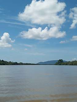
 Sambas river in Sambas Regency, West Kalimantan, viewed from the middle, at Sejangkung. | |
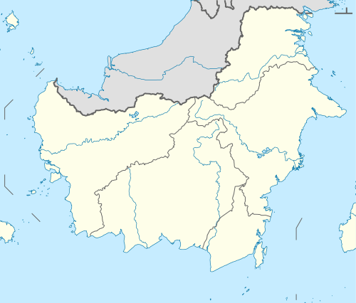
 River mouth location  Sambas River (Indonesia) | |
| Location | |
| Country | Indonesia |
| Physical characteristics | |
| Source | |
| • location | Bengkayang |
| Mouth | South China Sea |
• location | Pemangkat |
• coordinates | 1°11′26″N 108°58′02″E |
| Length | 233 km (145 mi) |
| Width | |
| • minimum | 150 m (490 ft) |
| • maximum | 400 m (1,300 ft) |
| Depth | |
| • minimum | 10 m (33 ft) |
| • maximum | 30 m (98 ft) |
Hydrology
The river is considered deep. In mouth area, the depth reaches 30 m, whereas in upstream part it is about 10 m. The width of the river is 400 m in average, while only 150 m in upstream part. The length of river is about 233 km.[3]
Geography
The river flows in the western area of Borneo island with predominantly tropical rainforest climate (designated as Af in the Köppen-Geiger climate classification).[4] The annual average temperature in the area is 23 °C. The warmest month is May, when the average temperature is around 25 °C, and the coldest is January, at 21 °C.[5] The average annual rainfall is 3542 mm. The wettest month is December, with an average of 485 mm rainfall, and the driest is June, with 106 mm rainfall.[6]
References
- Sungai Sambas at Geonames.org (cc-by); Last updated 17 January 2012; Database dump downloaded 27 November 2015
- Yusriadi (2015). "Identitas Orang Melayu di Hulu Sungai Sambas". Khatulistiwa. Pontianak: IAIN Pontianak. 5: 74 – , 99.
- Gambaran Umum Aspek Geografis Kalimantan Barat Pemerintah Provinsi Kalimantan Barat. Diakses pada 27 Juni 2018.
- Peel, M C; Finlayson, B L; McMahon, T A (2007). "Updated world map of the Köppen-Geiger climate classification". Hydrology and Earth System Sciences. 11. doi:10.5194/hess-11-1633-2007.
- "NASA Earth Observations Data Set Index". NASA. 30 January 2016.
- "NASA Earth Observations: Rainfall (1 month – TRMM)". NASA/Tropical Rainfall Monitoring Mission. 30 January 2016.