Rosedale, New Mexico
Rosedale is a census-designated place in Grant County, New Mexico, United States. Its population was 394 as of the 2010 census.[1] Rosedale was established in 1882 by prospector Jack Richardson and his wife Rose.[3]
Rosedale, New Mexico | |
|---|---|
 Rosedale  Rosedale | |
| Coordinates: 32°46′10″N 108°14′30″W | |
| Country | United States |
| State | New Mexico |
| County | Grant |
| Area | |
| • Total | 1.767 sq mi (4.58 km2) |
| • Land | 1.767 sq mi (4.58 km2) |
| • Water | 0 sq mi (0 km2) |
| Elevation | 5,968 ft (1,819 m) |
| Population | |
| • Total | 394 |
| • Density | 220/sq mi (86/km2) |
| Time zone | UTC-7 (Mountain (MST)) |
| • Summer (DST) | UTC-6 (MDT) |
| Area code(s) | 575 |
| GNIS feature ID | 2584196[2] |
Geography
Rosedale is located at 32.769646°N 108.242326°W, east of Silver City. According to the U.S. Census Bureau, the community has an area of 1.767 square miles (4.58 km2), all of it land.[1]
gollark: I agree. Nevin's wisdom is truly wise.
gollark: You can just unceramic them if it becomes an unproblem.
gollark: Yeees.
gollark: It's also a greenhouse gas.
gollark: ↓ you
References
- "2010 Census Gazetteer Files - Places: New Mexico". U.S. Census Bureau. Archived from the original on July 14, 2014. Retrieved August 22, 2014.
- "Rosedale". Geographic Names Information System. United States Geological Survey.
- Julyan, Robert (1996). The Place Names of New Mexico. University of New Mexico Press. p. 303. ISBN 0826316891.
Municipalities and communities of Grant County, New Mexico, United States | ||
|---|---|---|
| City | 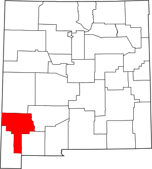 Map of New Mexico highlighting Grant County | |
| Towns | ||
| Village | ||
| CDPs | ||
| Other unincorporated communities | ||
| Ghost towns | ||
This article is issued from Wikipedia. The text is licensed under Creative Commons - Attribution - Sharealike. Additional terms may apply for the media files.