River Meon
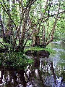
The River Meon (/ˈmiːɒn/ MEE-on) is a river that flows through an area of Hampshire in southern England known as the Meon Valley, it flows generally southwards from the South Downs to the Solent. For most of its route it is a chalk stream, with a length of 21 miles (34 km).[1]
| River Meon | |
|---|---|
 River Meon Spring | |
| Location | |
| Country | England |
| County | Hampshire |
| Physical characteristics | |
| Source | Meon Spring |
| • location | East Meon, Hampshire, England |
| • coordinates | 50.97849°N 1.02493°W |
| Mouth | Hill Head Harbour |
• location | The Solent, Hampshire, England |
• coordinates | 50.8183°N 1.2430°W |
| Length | 34 km (21 mi) |
| Discharge | |
| • location | Mislingford |
| • average | 0.98 m3/s (35 cu ft/s) |
| • minimum | 0.06 m3/s (2.1 cu ft/s)5 August 1976 |
| • maximum | 11.0 m3/s (390 cu ft/s)1 January 2003 |
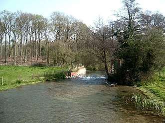
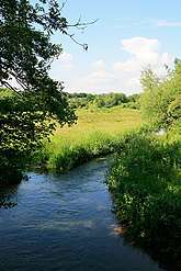
Course
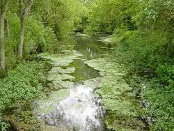
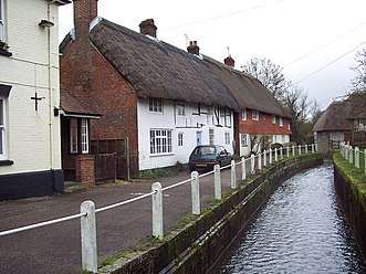
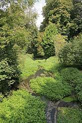
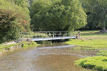
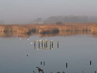
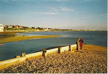
The River Meon rises approximately one mile (1.6 km) south of the village of East Meon. It first flows due north to that village, then northwest to West Meon, and southwest to Warnford before adopting its principal southwards flow. From Warnford the river flows through the villages of Exton, Corhampton and Meonstoke, Droxford, Wickham, and Titchfield. From Titchfield the river flows some 2 miles (3.2 km) through the marshes of the Titchfield Haven National Nature Reserve before entering the Solent through the small harbour at Hill Head.[2]
Navigation
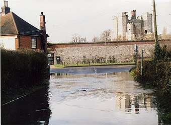
The River Meon was never navigable and Titchfield Haven, on the Solent coast was a minor harbour. In the 17th century, the Earl of Southampton caused a sluice (not a canal) to be constructed (Titchfield Canal) to drain the marshes. These wetlands now form the Titchfield Haven National Nature Reserve.[1]
|
References
- Hampshire County Council (2006). Activities at Titchfield Haven - River Study Archived 2006-04-27 at the Wayback Machine. Retrieved March 19, 2005.
- Ordnance Survey (2005). OS Explorer Map 119 - Meon Valley, Portsmouth, Gosport & Fareham. ISBN 0-319-23596-3.
External links
- Ordnance Survey National Grid: SU 685 203 (source), SU 534 023 (mouth)
- Current flood status for River Meon, from the Environment Agency
| Main rivers |
|  |
|---|---|---|
| Canals and Navigations | ||
| Ordinary watercourses | ||
| Lakes, ponds and wetlands | ||
| Coast | ||
Categories: Rivers, Canals | ||