River Goul
The River Goul (/ˈɡaʊl/; Irish: An Gabhail) is a river that flows through the counties of Tipperary, Kilkenny and Laois in Ireland.[1] It is a tributary of the River Erkina which is in turn a tributary of the River Nore.
| River Goul | |
|---|---|
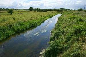 Goul near Galmoy | |
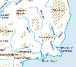 Map of the source of the Nore, Ireland | |
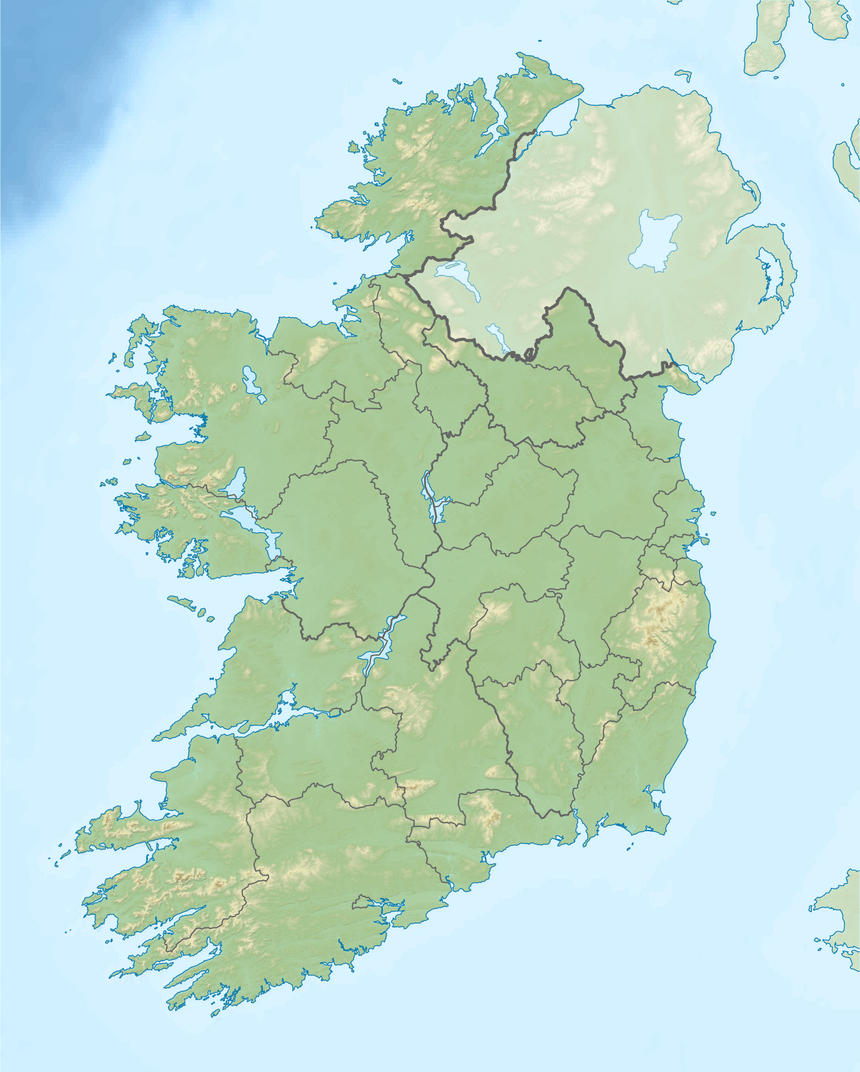 Location of the mouth in Ireland | |
| Native name | An Gabhail (Irish) |
| Location | |
| Counties | Tipperary, Kilkenny, Laois |
| Towns | Johnstown, Galmoy, Durrow |
| Physical characteristics | |
| Source | Slieveardagh Hills |
| • location | Slieveardagh Hills |
| • coordinates | 52°51′04″N 7°26′38″W |
| • elevation | 349 m (1,145 ft) |
| Mouth | Celtic Sea |
• location | Waterford Harbour, County Waterford |
• coordinates | 52°11′N 6°56′W |
• elevation | 0 m (0 ft) |
| Basin features | |
| Progression | River Goul—River Erkina—River Nore |
| Bridges | Ballyboodin Bridge |
It has its source in the Slieveardagh Hills, approximately six kilometres south of Urlingford. [2] It enters the town from the southeast, passing under Main Street and making its way to the bridge at Urlingford Castle (and Mill). It flows north passing between Johnstown and Galmoy into County Laois before joining the River Erkina several kilometres west of Durrow.
See also
References
Footnotes
Sources
- Fiontar (2008). "Placenames Database of Ireland". logainm.ie. Department of Arts, Heritage, Regional Rural and Gaeltacht Affairs of the Government of Ireland.CS1 maint: ref=harv (link)
- Kilkenny County Council (2004). "Urlingford Local Area Plan 2004". kilkenny.ie. Kilkenny: Kilkenny County Council.CS1 maint: ref=harv (link)
Further Reading
- Department of Manuscripts. Map of land on the banks of River Goul, Ireland. National Library of Ireland.
This article is issued from Wikipedia. The text is licensed under Creative Commons - Attribution - Sharealike. Additional terms may apply for the media files.