Rathowen
Rathowen (Irish: Ráth Eoghain, meaning "Eoghan's Ringfort") is a small village in County Westmeath, Ireland, on the N4 national primary route.
Rathowen Ráth Eoghain | |
|---|---|
Village | |
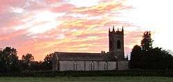 St Thomas' Church | |
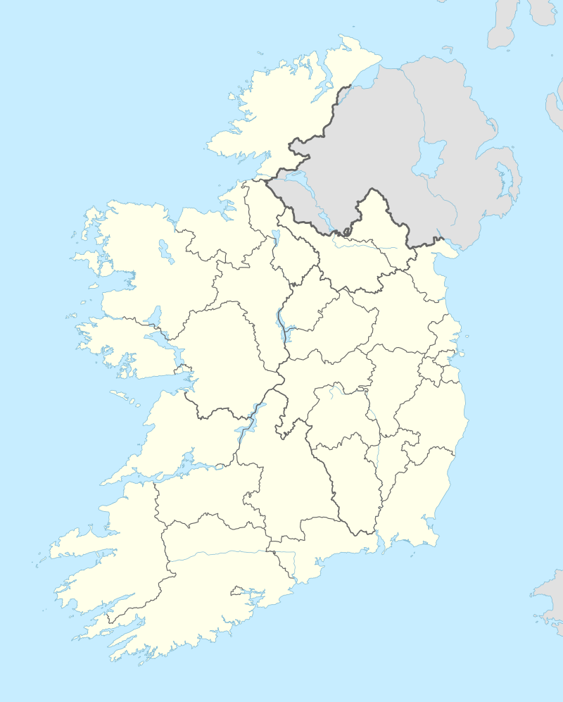 Rathowen Location in Ireland | |
| Coordinates: 53°39′36″N 7°31′12″W | |
| Country | Ireland |
| Province | Leinster |
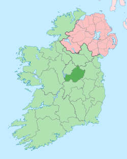
| County | County Westmeath |
| Government | |
| • Dáil Éireann | Longford–Westmeath |
| • EU Parliament | Midlands–North-West |
| Time zone | UTC+0 (WET) |
| • Summer (DST) | UTC-1 (IST (WEST)) |
| Irish Grid Reference | N317678 |
Transport
Street and Rathowen railway station was opened on 1 August 1877 and finally closed on 17 June 1963.[1]
gollark: I'm free iff apioforms approach you.
gollark: I am free at all times at which I am free.
gollark: ++roll 1d6
gollark: (Reduced Planck constant)
gollark: I shan't.
References
- "Street and Rathowen station" (PDF). Railscot - Irish Railways. Retrieved 2007-11-24.
This article is issued from Wikipedia. The text is licensed under Creative Commons - Attribution - Sharealike. Additional terms may apply for the media files.