Dalystown, County Westmeath
Dalystown is a village in Carrick, County Westmeath, Ireland. It is located in the south of the county on the N52 road, to the north of Tyrrellspass and Rochfortbridge.[1][2][3]
Dalystown | |
|---|---|
Village | |
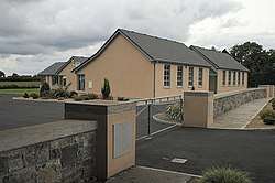 Dalystown School | |
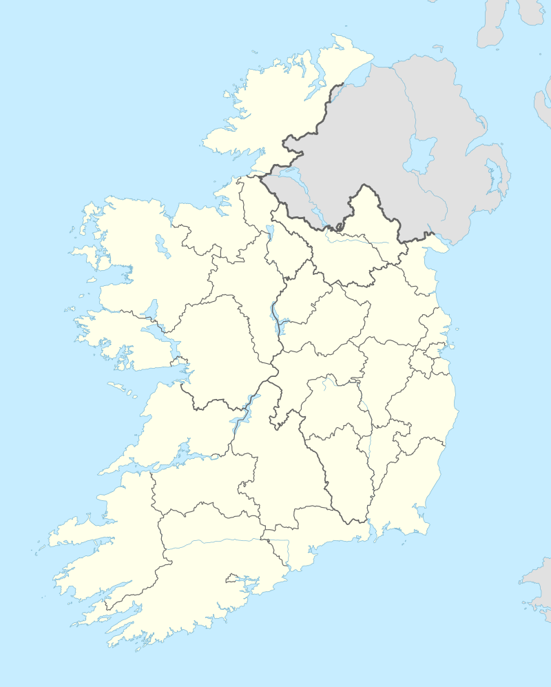 Dalystown Location in Ireland | |
| Coordinates: 53°26′24″N 7°22′12″W | |
| Country | Ireland |
| Province | Leinster |
| County | County Westmeath |
| Time zone | UTC+0 (WET) |
| • Summer (DST) | UTC-1 (IST (WEST)) |
| Irish Grid Reference | N503438 |
The village contains a National school, and a public house.
Lough Ennell stands to the north of the village.
Dalystown House
A two story house dating back to c1820 stands in the village. The building features a natural slate roof, rendered chimney stacks and a number of stone outbuildings.[4]
gollark: I wonder why.
gollark: But if you don't use the maximally formal form at all times, you might !!OFFEND SOMEONE!!.
gollark: "Dear sir/madam, I humbly request that you explain this detail of the documentation of this esoteric programming language".
gollark: Overly formal would be different.
gollark: Wait, did I say "an RFC"? Oh no.
References
- "Dalystown Townland, Co. Westmeath". www.townlands.ie. Retrieved 2020-04-10.
- FUSIO. "Dalystown House, DALYSTOWN, County Westmeath". Buildings of Ireland. Retrieved 2020-04-10.
- "Dalystown | The Schools' Collection". dúchas.ie. Retrieved 2020-04-10.
- FUSIO. "Dalystown House, DALYSTOWN, County Westmeath". Buildings of Ireland. Retrieved 2020-08-13.
This article is issued from Wikipedia. The text is licensed under Creative Commons - Attribution - Sharealike. Additional terms may apply for the media files.