Ballykeeran
Ballykeeran, (Irish: Bealach Caorthainn, meaning "road of the rowan trees") is a small village in County Westmeath, Ireland, near Glassan. It is located on the N55 road in the townland of Annagh overlooking Lough Ree.
Ballykeeran Bealach Caorthainn | |
|---|---|
Village | |
 N55 road passing the local pub in Ballykeeran | |
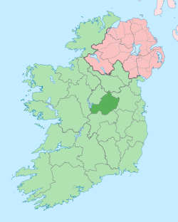
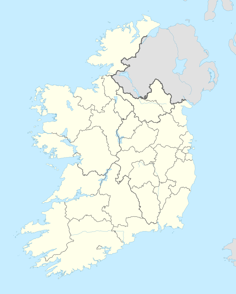 Ballykeeran Location in Ireland | |
| Coordinates: 53°27′00″N 7°53′00″W | |
| Country | Ireland |
| Province | Leinster |
| County | County Westmeath |
| Elevation | 56 m (184 ft) |
| Time zone | UTC+0 (WET) |
| • Summer (DST) | UTC-1 (IST (WEST)) |
| Irish Grid Reference | N072442 |
Features
There are tourist accommodations, a caravan park, and a local pub. There is also an old mill that sits on the Breensford River that runs through the village. At one stage in history this was used as an RIC Barracks.
gollark: ?ban <@151149148639330304>
gollark: Hello ESOPROGRAMMERS! SOMEONE PINGED ME.
gollark: How many apples fit inside a Boeing 737 MAX?
gollark: <@330678593904443393> What is the answer to bees?
gollark: I assumed you were complaining about sinthorion hackerizing your browser but sure.
See also
This article is issued from Wikipedia. The text is licensed under Creative Commons - Attribution - Sharealike. Additional terms may apply for the media files.