Qikiqtaaluk
Qikiqtaaluk (ᕿᑭᖅᑖᓗᒃ[1] formerly Sillem Island[2] is an uninhabited island in the Qikiqtaaluk Region of Nunavut, Canada. It is the second largest (after Bylot Island) of the several hundred islands and islets that are located in Baffin Bay, immediately off the northern coast of Baffin Island. It is defined by Clark and Gibbs Fiords, which join at its northern end to form Scott Inlet. Further north lies Pilattuaq.[3]
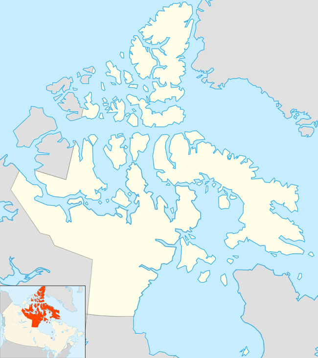 Qikiqtaaluk Location in Nunavut | |
| Geography | |
|---|---|
| Location | Northern Canada |
| Coordinates | 70°56′50″N 71°49′12″W |
| Archipelago | Arctic Archipelago |
| Area | 482 km2 (186 sq mi) |
| Highest point | 1,590 m (5,220 ft) |
| Administration | |
Canada | |
| Territory | Nunavut |
| Region | Qikiqtaaluk |
| Demographics | |
| Population | Uninhabited |
Geography
Sillem Island has an area of 482 km2 (186 sq mi). The highest peak of the island reaches 1,590 m (5,220 ft).
gollark: Saves all the hassle of dealing with bloat.
gollark: Protip: just don't install Windows.
gollark: <@259973943060856833> The noise is kind of an inherent problem with the DFPWM codec it uses.
gollark: Apparently the password to it is *not* password.
gollark: TMPIM™ made it.
References
- Qikiqtaaluk
- Qikiqtaaluk (Formerly Sillem Island)
- "Oceandots.com". Archived from the original on December 23, 2010. Retrieved 2009-03-14.CS1 maint: BOT: original-url status unknown (link)
This article is issued from Wikipedia. The text is licensed under Creative Commons - Attribution - Sharealike. Additional terms may apply for the media files.