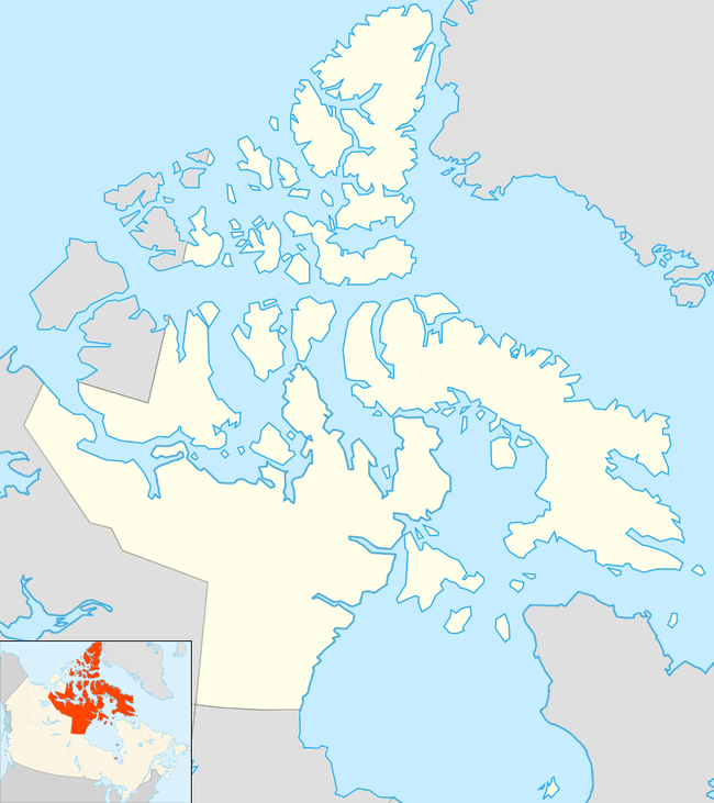
Knight Islands
The uninhabited Knight Islands are members of the Canadian Arctic Archipelago in the territory of Nunavut. They are located in Gray Strait, an arm of the Labrador Sea. The Knight Islands measure 8 km2 (3.1 sq mi).[1]
 Knight Islands Location in Nunavut | |
| Geography | |
|---|---|
| Location | Labrador Sea |
| Coordinates | 60°34′23″N 64°34′29″W |
| Archipelago | Canadian Arctic Archipelago |
| Area | 8 km2 (3.1 sq mi) |
| Highest point | Knight Summit, 213 m (699 ft) |
| Administration | |
Canada | |
| Nunavut | Nunavut |
| Region | Qikiqtaaluk |
| Demographics | |
| Population | Uninhabited |
| Source: Knight Islands at Atlas of Canada | |
The largest of the Knight Islands is 2.5 mi (4.0 km) long and 1.7 mi (2.7 km) wide. Knight Summit, at the north part of the island, rises to 213 m (699 ft) above sea level.[2]
The larger Button Islands are about 5 km (3.1 mi) to the northwest. The Cape Chidley Islands are 18.2 km (11.3 mi) away.[3]
References
- "Knight Islands". Atlas of Canada. Retrieved 2008-06-10.
- "Sector13.HudsonStrait" (PDF). National Geospatial Intelligence Agency. pollux.nss.nima.mil. p. 7. Archived from the original (PDF) on October 24, 2004. Retrieved 2009-02-16.
- "Knight Islands". travelingluck.com. Retrieved 2009-02-17.
This article is issued from Wikipedia. The text is licensed under Creative Commons - Attribution - Sharealike. Additional terms may apply for the media files.