Prince of Wales Range (Tasmania)
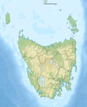
The Prince of Wales Range is a mountain range in the South West Wilderness, Tasmania, Australia. It is situated north and parallel to the Denison River. It lies to the west of Lake Gordon, and southeast of Frenchmans Cap.
| Prince of Wales Range | |
|---|---|
 | |
| Geography | |
| Country | Australia |
| State | Tasmania |
| Region | South West Wilderness |
| Range coordinates | 42°32′S 146°00′E |
It is considered a difficult range to traverse, and is particularly difficult to access.[1]
The first known traverse of the range was by Reg Williams and Olegas Truchanas in 1963[2]
Named peaks in the range include:
- Diamond Peak
- Olegas Bluff[3]
Notes
- http://david-noble.net/Tasmania/POW77/POWmenu.html Dave Nobles record of 1977 Traverse, http://david-noble.net/Tasmania/POW81/PrinceOfWalesMenu.html Dave Nobles record of 1981 Traverse
- Chapman, John (2008), South west Tasmania (5th ed.), John Chapman, ISBN 978-1-920995-03-4 page 219
- Originally named Mt YopYop by Reg Williams, but known as Olegas Bluff
gollark: no you.
gollark: THIS is void, not the privacy policy of potato os.
gollark: * can
gollark: Too bad, the PotahtOS Phrivacy Pholicy says I an.
gollark: But I wanted the letter h?
This article is issued from Wikipedia. The text is licensed under Creative Commons - Attribution - Sharealike. Additional terms may apply for the media files.