Pan Historic District
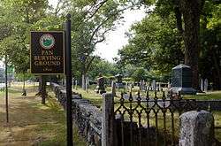
The Pan Historic District encompasses a historic rural landscape in eastern Bolton, Massachusetts. Named for its relatively flat terrain, the Pan was settled in the 18th century, with a largely agrarian settlement pattern augmented by small industries such as sawmills and a tannery. Architecturally the district has a well-preserved collection of Federal period residential architecture. Its main public feature is the Pan Burying Ground, an early cemetery located near the junction of Massachusetts Routes 117 and 85. It extends south from there along Route 85 and Long Hill Road, and north along Burnham Road.[2]
Pan Historic District | |
 | |
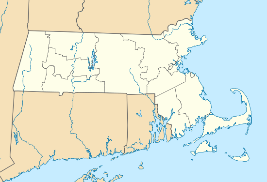  | |
| Location | Main St., Annie Moore, Burnham, Hudson & Long Hill Rds., Bolton, Massachusetts |
|---|---|
| Coordinates | 42°25′45″N 71°34′33″W |
| Area | 300 acres (120 ha) |
| NRHP reference No. | 100002783[1] |
| Added to NRHP | August 16, 2018 |
The district was listed on the National Register of Historic Places in 2018.[1]
References
- "National Register Information System". National Register of Historic Places. National Park Service. April 15, 2008.
- "Bolton's 'Pan Historic District' one step closer to recognition". Worcester Telegram & Gazette. July 8, 2018. Retrieved 2018-08-25.
| Topics |  | ||||||||||||||||
|---|---|---|---|---|---|---|---|---|---|---|---|---|---|---|---|---|---|
| Lists by county | |||||||||||||||||
| Lists by city |
| ||||||||||||||||
| Other lists | |||||||||||||||||
| |||||||||||||||||
This article is issued from Wikipedia. The text is licensed under Creative Commons - Attribution - Sharealike. Additional terms may apply for the media files.