Nygut
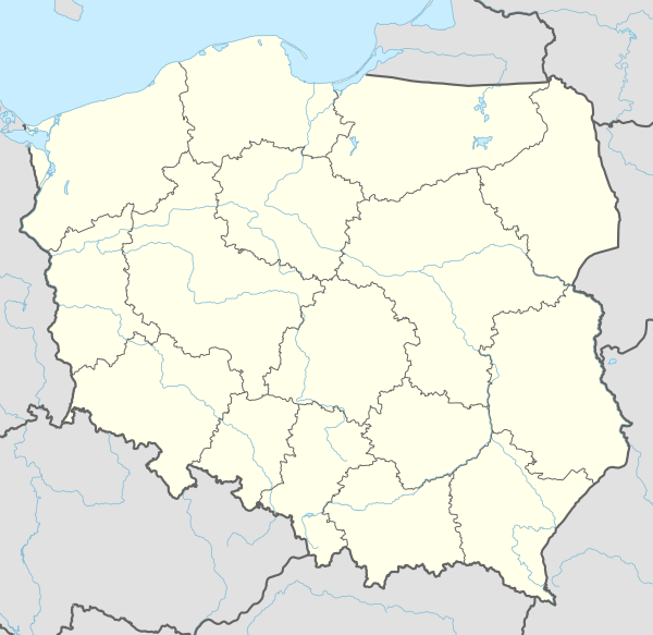
Nygut [ˈnɨɡut] (German: Neuguth) is a settlement in the administrative district of Gmina Skarszewy, within Starogard County, Pomeranian Voivodeship, in northern Poland.[1] It lies approximately 3 kilometres (2 mi) east of Skarszewy, 12 km (7 mi) north of Starogard Gdański, and 35 km (22 mi) south of the regional capital Gdańsk. Is it considered part of the village of Bolesławowo.[2] It is located within the ethnocultural region of Kociewie in the historic region of Pomerania.
Nygut | |
|---|---|
Settlement | |
 Nygut 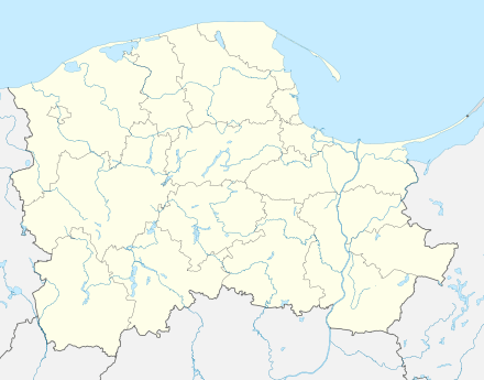 Nygut | |
| Coordinates: 54°4′7″N 18°28′47″E | |
| Country | |
| Voivodeship | Pomeranian |
| County | Starogard |
| Gmina | Skarszewy |
| Population | 19 |
| Time zone | UTC+1 (CET) |
| • Summer (DST) | UTC+2 (CEST) |
The settlement has a population of 19.
Nygut was a royal village of the Polish Crown, administratively located in the Tczew County in the Pomeranian Voivodeship.[3]
References
- "Central Statistical Office (GUS) - TERYT (National Register of Territorial Land Apportionment Journal)" (in Polish). 2008-06-01.
- Rozporządzenie Ministra Administracji i Cyfryzacji z dnia 13 grudnia 2012 r. w sprawie wykazu urzędowych nazw miejscowości i ich części, Dz. U. z 2013 r. poz. 200
- Marian Biskup, Andrzej Tomczak, Mapy województwa pomorskiego w drugiej połowie XVI w., Toruń, 1955, p. 112 (in Polish)

This article is issued from Wikipedia. The text is licensed under Creative Commons - Attribution - Sharealike. Additional terms may apply for the media files.