Mufu Mountains
The Mufu Mountains (Chinese: 幕阜山; pinyin: Mùfù Shān) are a range of mountains located on the border of Jiangxi and Hubei provinces in China.
| Mufu Range | |
|---|---|
| 幕阜山 | |
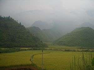 Rice fields in a valley in the Mufu Range, seen from National Highway 106 east of Tongshan | |
| Highest point | |
| Elevation | 1,597.2 m (5,240 ft) |
| Coordinates | 28°59′N 113°50′E |
| Geography | |
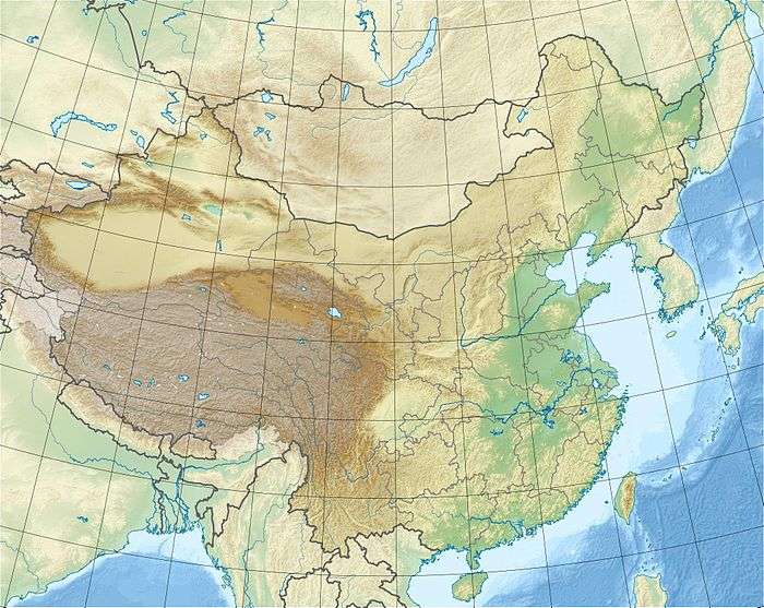 Mufu Range Location in China | |
| Location | Hubei, Hunan and Jiangxi, China |
| Parent range | Luoxiao Mountains |
Some maps label the range as 幕埠山, which would be transliterated as Mùbù Shān (Mubu Mountains), but this apparently is a typo.[1]
Description
The Mufu range is a subrange of the Luoxiao Mountains. It stretches for about 200 km in a roughly southwest-northeast direction between close to Pingjiang in Hunan to the Yangtze valley near Jiujiang.[2]
gollark: JSON can apparently be parsed at several GB/s, and msgpack is more efficient, soooo...
gollark: Your CPU might need hardware msgpack decoders, but it's totally worth it for... something?
gollark: Sure why not.
gollark: That is a gøød iðea.
gollark: Yes.
References
- Hubei provincial map sold throughout the province for Y4. Published by "Hubei Sheng Dituyuan" (Hubei Provincial Mapping Office) in June 2008. No ISBN. Other available sources (provincial atlases, etc) all have Mufu (幕阜)
- Mufu Mountains
Mountain ranges of China | |
|---|---|
| Northwest China | |
| Qinghai-Tibet and Southwest China | |
| Northeast China | |
| Northern China | |
| Central China | |
| Southern China | |
Hubei topics | |
|---|---|
Wuhan (capital) | |
| General | |
| Geography |
|
| Education | |
| Culture |
|
| Cuisine |
|
| Visitor attractions |
|
| |
Jiangxi topics | |
|---|---|
Nanchang (capital) | |
| General | |
| Geography |
|
| Education | |
| Culture |
|
| Visitor attractions |
|
| |
This article is issued from Wikipedia. The text is licensed under Creative Commons - Attribution - Sharealike. Additional terms may apply for the media files.