Mualkawi
Mualkawi is a village in the Champhai district of Mizoram, India. It is located in the Khawzawl Rural Development Block.[1]
Mualkawi | |
|---|---|
village | |
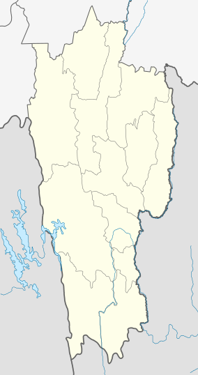 Mualkawi Location in Mizoram, India  Mualkawi Mualkawi (India) | |
| Coordinates: 23.4191398°N 93.3332252°E | |
| Country | India |
| State | Mizoram |
| District | Champhai |
| Block | Khawzawl |
| Elevation | 1,302 m (4,272 ft) |
| Population (2011) | |
| • Total | 664 |
| Time zone | UTC+5:30 (IST) |
| 2011 census code | 271326 |
Demographics
According to the 2011 census of India, Mualkawi has 128 households. The effective literacy rate (i.e. the literacy rate of population excluding children aged 6 and below) is 97.94%.[2]
| Total | Male | Female | |
|---|---|---|---|
| Population | 664 | 335 | 329 |
| Children aged below 6 years | 129 | 67 | 62 |
| Scheduled caste | 0 | 0 | 0 |
| Scheduled tribe | 660 | 334 | 326 |
| Literates | 524 | 261 | 263 |
| Workers (all) | 243 | 173 | 70 |
| Main workers (total) | 236 | 170 | 66 |
| Main workers: Cultivators | 194 | 140 | 54 |
| Main workers: Agricultural labourers | 9 | 4 | 5 |
| Main workers: Household industry workers | 1 | 1 | 0 |
| Main workers: Other | 32 | 25 | 7 |
| Marginal workers (total) | 7 | 3 | 4 |
| Marginal workers: Cultivators | 1 | 1 | 0 |
| Marginal workers: Agricultural labourers | 2 | 1 | 1 |
| Marginal workers: Household industry workers | 0 | 0 | 0 |
| Marginal workers: Others | 4 | 1 | 3 |
| Non-workers | 421 | 162 | 259 |
gollark: Consume contraphobioapioforms.
gollark: You can't, consume "bees".
gollark: The edited communist manifesto from earlier was thingied on my GPU.
gollark: Anyway, based on my very rough testing, the GPU is about 4 times as fast as the CPU for my arbitrary NLP tasks.
gollark: Google has these TPU things, which are hyperspecialized for particular big parallel operations™ and have tons of memory bandwidth.
References
- "List of Panchayats". Integrated Management Information System (IMIS). Retrieved 26 April 2018.
- "District Census Handbook - Champhai" (PDF). 2011 Census of India. Directorate of Census Operations, Mizoram. Retrieved 22 August 2015.
This article is issued from Wikipedia. The text is licensed under Creative Commons - Attribution - Sharealike. Additional terms may apply for the media files.