Monkhead
Monkhead is a 3,250-metre (10,660-foot) mountain summit located at the south end of Maligne Lake in Jasper National Park, in the Canadian Rockies of Alberta, Canada. Monkhead was named by the Alpine Club of Canada for its hood-like appearance similar to a monk.[3] Its nearest higher peak is Mount Warren, 2.3 kilometres (1.4 miles) to the south-southeast.[4]
| Monkhead | |
|---|---|
 Monkhead (left) reflected in Maligne Lake | |
| Highest point | |
| Elevation | 3,250 m (10,660 ft) [1] |
| Prominence | 60 m (200 ft) [1] |
| Parent peak | Mount Warren (3362 m)[1] |
| Coordinates | 52°34′46″N 117°23′21″W [2] |
| Geography | |
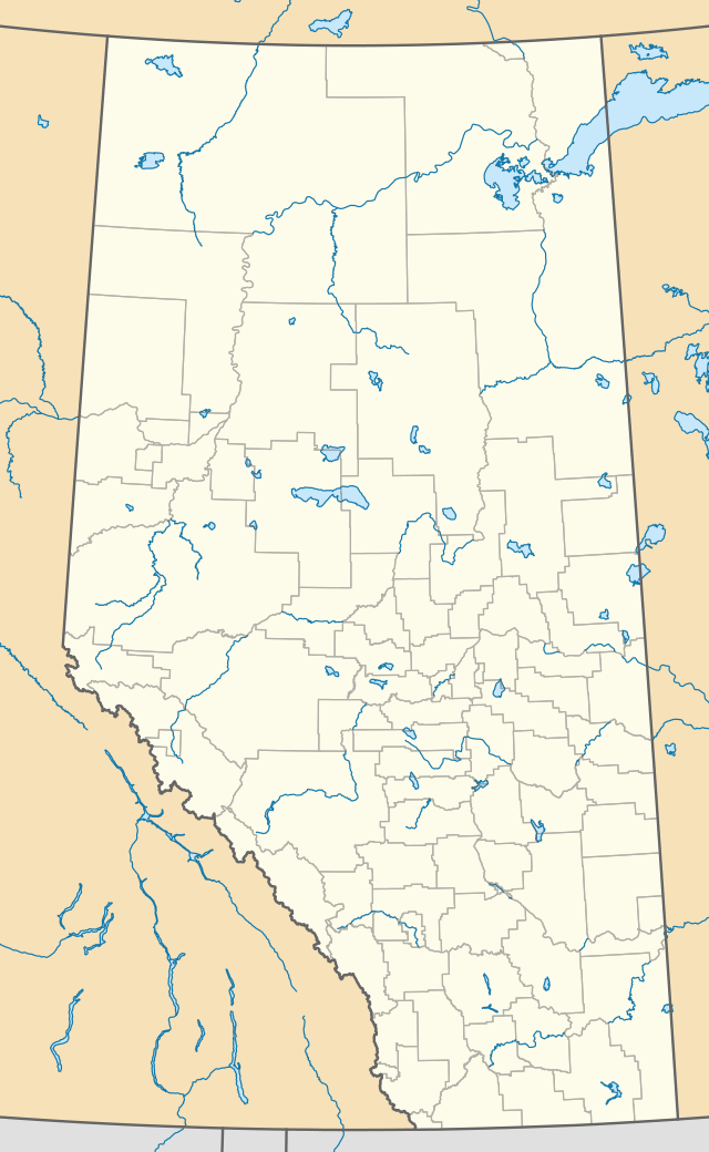
 Monkhead Location of Monkhead in Alberta  Monkhead Monkhead (Canada) | |
| Location | Alberta, Canada |
| Parent range | Le Grand Brazeau Range Canadian Rockies |
| Topo map | NTS 83C/11[2] |
| Geology | |
| Age of rock | Cambrian / Ordovician |
| Type of rock | Limestone |
| Climbing | |
| First ascent | 1950 by Mr. and Mrs. Rex Gibson, D. LaChapelle, E. LaChapelle[1] |
Monkhead is situated at the far northwest extreme of the Brazeau Icefield. Monkhead abruptly rises 1,500 metres (4,900 ft) in less than 2 kilometres (1.2 mi) from the lake giving it dramatic local relief. Monkhead is often seen in the background of iconic calendar photos of Spirit Island with Maligne Lake.
History
The mountain's name was officially adopted in 1946 by the Geographical Names Board of Canada.[2] The first ascent of Monkhead was made in 1950 by Mr. and Mrs. Rex Gibson, D. LaChapelle, and E. LaChapelle.
Climate
Based on the Köppen climate classification, Monkhead is located in a subarctic climate with cold, snowy winters, and mild summers.[5] Temperatures can drop below −20 degrees Celsius (−4 degrees Fahrenheit) with wind chill factors below −30 °C (−22 °F). Precipitation runoff from Monkhead drains into the Maligne River, which is a tributary of the Athabasca River.
References
- "Monkhead Mountain". Bivouac.com. Retrieved 2018-10-22.
- "Monkhead". Geographical Names Data Base. Natural Resources Canada. Retrieved 2018-10-22.
- MonkheadPeakFinder
- "Monkhead, Alberta". Peakbagger.com.
- Peel, M. C.; Finlayson, B. L. & McMahon, T. A. (2007). "Updated world map of the Köppen−Geiger climate classification". Hydrol. Earth Syst. Sci. 11: 1633–1644. ISSN 1027-5606.
External links
- Parks Canada web site: Jasper National Park
