Merton, Norfolk
Merton is a civil parish in the English county of Norfolk. It covers an area of 5.94 km2 (2.29 sq mi) and had a population of 113 in 50 households at the 2001 census,[2] increasing to a population 0f 133 in 56 households at the 2011 census. For the purposes of local government, it falls within the district of Breckland.
| Merton | |
|---|---|
 Merton St Peter | |
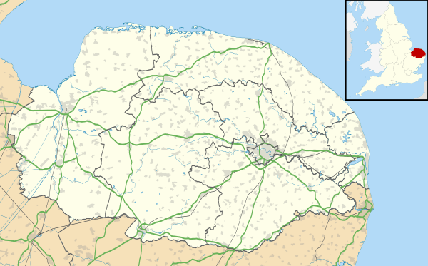 Merton Location within Norfolk | |
| Area | 5.94 km2 (2.29 sq mi) |
| Population | 133 (2011)[1] |
| • Density | 22/km2 (57/sq mi) |
| OS grid reference | TL907988 |
| Civil parish |
|
| District |
|
| Shire county | |
| Region | |
| Country | England |
| Sovereign state | United Kingdom |
| Post town | THETFORD |
| Postcode district | IP25 |
| Police | Norfolk |
| Fire | Norfolk |
| Ambulance | East of England |
Merton Hall is the home of Lord Walsingham
Its church, St Peter's, is one of 124 existing round-tower churches in Norfolk and is a grade I listed building.[3]
Notes
- "Civil Parish population 2011". Neighbourhood Statistics. Office for National Statistics. Retrieved 8 August 2016.
- Census population and household counts for unparished urban areas and all parishes. Office for National Statistics & Norfolk County Council (2001). Retrieved 20 June 2009.
- Historic England. "CHURCH OF ST. PETER (1172419)". National Heritage List for England. Retrieved 9 March 2014.
gollark: Sure? It's a bit loosely defined but I guess so.
gollark: Also, there aren't "objective reason"s to do anything. The most you can say objectively is that "X is good/problematic because it satisfies/goes against Y goal", or maybe "I consider Y goal/X thing important".
gollark: People should probably consider privacy more seriously than most actually *do*, at least. A lot of people say they care a bit but then ignore it.
gollark: <@126590786945941504> Maybe they should.
gollark: What makes them better than the advertising companies then?
External links

The Merton Stone, glacial erratic
![]()
| Boroughs or districts | |
|---|---|
| Major settlements |
|
| Topics |
|
This article is issued from Wikipedia. The text is licensed under Creative Commons - Attribution - Sharealike. Additional terms may apply for the media files.