Mercatello sul Metauro
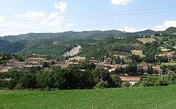
Mercatello sul Metauro (Romagnol: Mercatèl) is a comune (municipality) in the Province of Pesaro e Urbino in the Italian region Marche, located about 100 kilometres (62 mi) west of Ancona and about 50 kilometres (31 mi) southwest of Pesaro.
Mercatello sul Metauro Mercatèl | |
|---|---|
| Comune di Mercatello sul Metauro | |
 | |
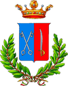
 Coat of arms | |
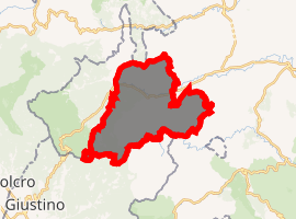
Location of Mercatello sul Metauro 
| |
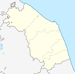
 Mercatello sul Metauro Location of Mercatello sul Metauro in Italy  Mercatello sul Metauro Mercatello sul Metauro (Marche) | |
| Coordinates: 43°39′N 12°20′E | |
| Country | Italy |
| Region | Marche |
| Province | Pesaro e Urbino (PU) |
| Frazioni | Castello della Pieve |
| Government | |
| • Mayor | Fernanda Sacchi |
| Area | |
| • Total | 68.36 km2 (26.39 sq mi) |
| Elevation | 429 m (1,407 ft) |
| Population (31 October 2017)[2] | |
| • Total | 1,366 |
| • Density | 20/km2 (52/sq mi) |
| Demonym(s) | Mercatellesi |
| Time zone | UTC+1 (CET) |
| • Summer (DST) | UTC+2 (CEST) |
| Postal code | 61040 |
| Dialing code | 0722 |
| Patron saint | S.ta Veronica |
| Saint day | 9 July |
| Website | Official website |
Economy is mostly based on agriculture and sheep husbandry.
History
Mercatello is known as a settlement of the Umbri in the 12th century BC. Later it was conquered by the ancient Romans; destroyed during the barbaric invasions, it was rebuilt by the Lombards in the 6th century as Pieve d'Ico. First under Città di Castello and Massa Trabaria (9th century), it was turned into an autonomous fortified commune in 1235 by Pope Gregory IX. In 1437 it was annexed to the Duchy of Urbino; in 1636 it became part of the Papal States.
Main sights
- Pieve Collegiata (with walls from the original 10th century Romanesque edifice), rebuilt in 1363.
- Gothic church of St. Francis (13th century), with a notable collection of paintings from the 12th to 17th centuries (including a portrait of Federico III da Montefeltro attributed to Benedetto da Maiano or Francesco di Giorgio Martini).
- Ducal Palace (15th century), also attributed to Francesco di Giorgio Matrini
- Palazzaccio (16th century).
References
- "Superficie di Comuni Province e Regioni italiane al 9 ottobre 2011". Istat. Retrieved 16 March 2019.
- All demographics and other statistics: Italian statistical institute Istat.