Meningie East, South Australia
Meningie East is a locality in the Australian state of South Australia located about 120 kilometres (75 mi) south-east of the state capital of Adelaide and about 43 kilometres (27 mi) south-east of the municipal seat in Tailem Bend.[1][4]
| Meningie East South Australia | |||||||||||||||
|---|---|---|---|---|---|---|---|---|---|---|---|---|---|---|---|
 Meningie East | |||||||||||||||
| Coordinates | 35°38′03″S 139°33′34″E[1] | ||||||||||||||
| Population | 14 (2016 census)[2] | ||||||||||||||
| Established | 24 August 2000[3] | ||||||||||||||
| Postcode(s) | 5264 [4] | ||||||||||||||
| Time zone | ACST (UTC+9:30) | ||||||||||||||
| • Summer (DST) | ACST (UTC+10:30) | ||||||||||||||
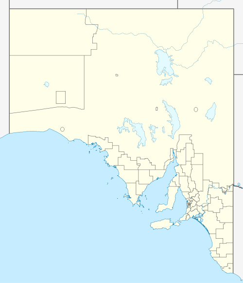
| Location |
| ||||||||||||||
| LGA(s) | Coorong District Council[1] | ||||||||||||||
| Region | Murray and Mallee[1] | ||||||||||||||
| County | Russell[1] | ||||||||||||||
| State electorate(s) | Mackillop[5] | ||||||||||||||
| Federal Division(s) | Barker[6] | ||||||||||||||
| |||||||||||||||
| |||||||||||||||
| Footnotes | Locations[1][4] Adjoining localities[1] | ||||||||||||||
Meningie East ’s boundaries were created on 24 August 2000 and given the “local established name”. Its southern boundary is the McIntosh Way, a sealed road connecting the towns of Meningie and Coonalpyn and which is maintained by the Government of South Australia.[1][3][8]
Land use within the locality is ’primary production’.[9]
The 2016 Australian census which was conducted in August 2016 reports that Meningie East had 14 people living within its boundaries.[2]
Meningie East is located within the federal division of Barker, the state electoral district of Mackillop and the local government area of the Coorong District Council.[6][1][5]
References
- "Search results for 'Meningie East, LOCB' with the following datasets selected - 'Suburbs and localities', 'Counties', 'Hundreds', 'Local Government Areas', 'Postcodes', 'SA Government Regions', 'Gazetteer', and 'State Maintained Roads'". Location SA Map Viewer. South Australian Government. Retrieved 10 April 2019.
- Australian Bureau of Statistics (27 June 2017). "Meningie East (State Suburb)". 2016 Census QuickStats.

- "GEOGRAPHICAL NAMES ACT 1991, Notice to Assign Boundaries and Names to Places (within the Coorong District Council)" (PDF), The South Australian Government Gazette: 596, 24 August 2000, retrieved 9 April 2019
- "Postcode for Meningie East, South Australia". Postcodes Australia. Retrieved 10 April 2019.
- "District of Mackillop profile". Electoral Commission SA. Retrieved 10 April 2019.
- "Federal electoral division of Barker, boundary gazetted 16 December 2011" (PDF). Australian Electoral Commission. Retrieved 6 April 2019.
- "Summary statistics MENINGIE (nearest weather station)". Commonwealth of Australia, Bureau of Meteorology. Retrieved 10 April 2019.
- "RACK PLAN 947, Coorong District Council, Rural Roads" (PDF). Rural road maps. South Australian Government. November 2016. Retrieved 10 April 2019.
- "Search results for 'Meningie East, LOCB' with the following datasets selected - 'Suburbs and localities', 'Gazetteer' and 'Land Development Plan Zone Categories'". Location SA Map Viewer. South Australian Government. Retrieved 10 April 2019.