Coombe, South Australia
Coombe is a locality in the Australian state of South Australia located about 186 kilometres (116 mi) south-east of the state capital of Adelaide and about 105 kilometres (65 mi) south-east of the municipal seat in Tailem Bend.[1]
| Coombe South Australia | |||||||||||||||
|---|---|---|---|---|---|---|---|---|---|---|---|---|---|---|---|
 Coombe | |||||||||||||||
| Coordinates | 35°57′38″S 140°13′02″E[1] | ||||||||||||||
| Population | 64 (2016 census)[2] | ||||||||||||||
| Established | 24 August 2000[3] | ||||||||||||||
| Postcode(s) | 5267[1] | ||||||||||||||
| Elevation | 24 m (79 ft)[4] | ||||||||||||||
| Time zone | ACST (UTC+9:30) | ||||||||||||||
| • Summer (DST) | ACST (UTC+10:30) | ||||||||||||||
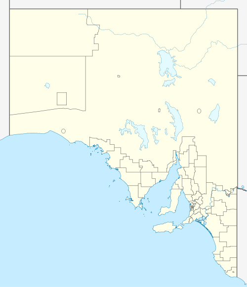
| Location |
| ||||||||||||||
| LGA(s) | Coorong District Council[1] | ||||||||||||||
| Region | Murray and Mallee[1] | ||||||||||||||
| County | Buckingham[1] Cardwell [1] | ||||||||||||||
| State electorate(s) | Mackillop[5] | ||||||||||||||
| Federal Division(s) | Barker[6] | ||||||||||||||
| |||||||||||||||
| |||||||||||||||
| Footnotes | Locations[1] Adjoining localities[1] | ||||||||||||||
Coombe ’s boundaries were created on 24 August 2000 and given the “local established name” which is derived from the Coombe Railway Station and ultimately from the cadastral unit of the Hundred of Coombe. Despite its name, the locality consists of land in south-east corner of the Hundred of Coombe in the west and the southern ends of the adjoining hundreds of Archibald and Makin in the east.[1][3][4]
The Dukes Highway and Adelaide-Wolseley railway line both pass thought the locality from the town of Tintinara in the north-west to the town of Keithin the south-east.[1]
Land use within the locality is ’primary production’ with exception to some land zoned for conservation on its southern boundary over the area proclaimed as the Kelvin Powrie Conservation Park.[8][9]
The 2016 Australian census which was conducted in August 2016 reports that Coombe had 64 people living within its boundaries.[2]
Coombe is located within the federal division of Barker, the state electoral district of Mackillop and the local government area of the Coorong District Council.[6][1][5]
References
- "Search results for 'Coombe, LOCB' with the following datasets selected - 'Suburbs and localities', 'Counties', 'Hundreds', 'Local Government Areas', 'Postcodes', 'SA Government Regions', 'Gazetteer', 'Railways' and 'Roads'". Location SA Map Viewer. South Australian Government. Retrieved 9 April 2019.
- Australian Bureau of Statistics (27 June 2017). "Coombe (State Suburb)". 2016 Census QuickStats. Retrieved 9 April 2019.

- "GEOGRAPHICAL NAMES ACT 1991, Notice to Assign Boundaries and Names to Places {within the Coorong District Council)" (PDF), The South Australian Government Gazette: 596, 24 August 2000, retrieved 9 April 2019
- "Search results for 'Coombe Railway Station' with the following datasets selected - 'Suburbs and localities' and 'Gazetteer'". Location SA Map Viewer. South Australian Government. Retrieved 9 April 2019.
- "District of Mackillop profile". Electoral Commission SA. Retrieved 9 April 2019.
- "Federal electoral division of Barker, boundary gazetted 16 December 2011" (PDF). Australian Electoral Commission. Retrieved 6 April 2019.
- "Summary statistics KEITH (MUNKORA) (nearest weather station)". Commonwealth of Australia, Bureau of Meteorology. Retrieved 9 April 2019.
- "Development Plan - Coorong District Council - Consolidated – 21 November 2017" (PDF). Government of South Australia. pp. 121, 145, 235 and 411. Retrieved 9 April 2019.
- "Search results for 'Coombe, LOCB' with the following datasets selected - 'Suburbs and localities', 'Gazetteer' and 'Land Development Plan Zone Categories'". Location SA Map Viewer. South Australian Government. Retrieved 9 April 2019.