Moorlands, South Australia
Moorlands is a locality in the Australian state of South Australia.[1]
| Moorlands South Australia | |||||||||||||||
|---|---|---|---|---|---|---|---|---|---|---|---|---|---|---|---|
 Moorlands | |||||||||||||||
| Coordinates | 35°17′29″S 139°38′39″E[1] | ||||||||||||||
| Postcode(s) | 5301 | ||||||||||||||
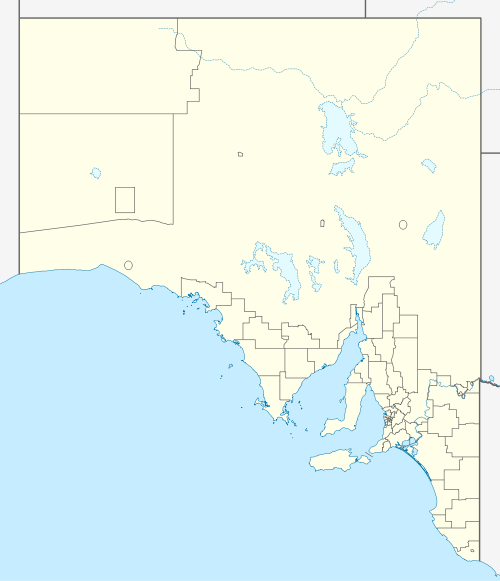
| Elevation | 12 m (39 ft)[2] | ||||||||||||||
| Location | 20 km (12 mi) east of Tailem Bend | ||||||||||||||
| LGA(s) | Coorong District Council | ||||||||||||||
| State electorate(s) | Hammond | ||||||||||||||
| Federal Division(s) | Barker | ||||||||||||||
| |||||||||||||||
| Footnotes | Adjoining localities[1] | ||||||||||||||
Moorlands is located east of Murray Bridge and has farms that cultivate wheat, sheep and other livestock. It is on the Mallee Highway and Pinnaroo railway line. Its name is believed to be derived from Moorlands near London in England.[2]
Lignite coal was first discovered in the vicinity of Moorlands in 1910. Further exploration and assessment was conducted in the 1920s and 1940s.[3] Despite apparent enthusiasm at the time, the Moorlands coalfield was never developed, with the state government choosing to develop the larger coal deposit at Leigh Creek instead.
References
- "Search results for 'Moorlands, LOCB' with the following datasets selected - 'Suburbs and localities', 'Counties', 'Government Towns', 'Hundreds', 'Local Government Areas', 'SA Government Regions', 'Gazetteer' and 'Roads'". Location SA Map Viewer. South Australian Government. Retrieved 17 April 2019.
- "Placename Details: Moorlands Railway Station". Department of Planning, Transport and Infrastructure. 21 April 2008. SA0034793. Archived from the original on 12 October 2016. Retrieved 19 November 2015.
- "BROWN COAL DEPOSIT Experiments At Moorlands". The Advertiser. Adelaide. 30 July 1946. p. 6. Retrieved 19 November 2015 – via National Library of Australia.
This article is issued from Wikipedia. The text is licensed under Creative Commons - Attribution - Sharealike. Additional terms may apply for the media files.