Lungtan
Lungtan is a village in the Champhai district of Mizoram, India. It is located in the Khawzawl R.D. Block.[1]
Lungtan | |
|---|---|
village | |
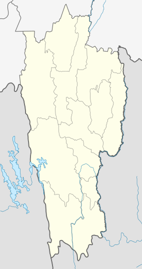 Lungtan Location in Mizoram, India  Lungtan Lungtan (India) | |
| Coordinates: 23.3837587°N 93.1008348°E | |
| Country | India |
| State | Mizoram |
| District | Champhai |
| Block | Khawzawl |
| Elevation | 1,247 m (4,091 ft) |
| Population (2011) | |
| • Total | 658 |
| Time zone | UTC+5:30 (IST) |
| 2011 census code | 271334 |
Demographics
According to the 2011 census of India, Lungtan has 115 households. The effective literacy rate (i.e. the literacy rate of population excluding children aged 6 and below) is 96.29%.[2]
| Total | Male | Female | |
|---|---|---|---|
| Population | 658 | 340 | 318 |
| Children aged below 6 years | 119 | 59 | 60 |
| Scheduled caste | 0 | 0 | 0 |
| Scheduled tribe | 658 | 340 | 318 |
| Literates | 519 | 272 | 247 |
| Workers (all) | 354 | 193 | 161 |
| Main workers (total) | 354 | 193 | 161 |
| Main workers: Cultivators | 318 | 173 | 145 |
| Main workers: Agricultural labourers | 2 | 2 | 0 |
| Main workers: Household industry workers | 12 | 7 | 5 |
| Main workers: Other | 22 | 11 | 11 |
| Marginal workers (total) | 0 | 0 | 0 |
| Marginal workers: Cultivators | 0 | 0 | 0 |
| Marginal workers: Agricultural labourers | 0 | 0 | 0 |
| Marginal workers: Household industry workers | 0 | 0 | 0 |
| Marginal workers: Others | 0 | 0 | 0 |
| Non-workers | 304 | 147 | 157 |
gollark: If they run that whole cycle fast enough it'll average out as a reasonable situation!
gollark: Outside of high-level stuff (GCSE *maybe*, probably A-level) I think it's *mostly* irrelevant if you take a few weeks off.
gollark: I mean, you can socialize at school, which is important, but you can do that anyway.
gollark: It annoys me that the government goes on about how amazingly important it is and how it would be unethical to make people not go to school for a bit.
gollark: Probably people with compromised immune systems or something should avoid school.
References
- "Mizoram villages" (PDF). Land Records Information Systems Division, NIC. Archived from the original (PDF) on 6 August 2014. Retrieved 22 August 2015.
- "District Census Handbook - Champhai" (PDF). 2011 Census of India. Directorate of Census Operations, Mizoram. Retrieved 22 August 2015.
This article is issued from Wikipedia. The text is licensed under Creative Commons - Attribution - Sharealike. Additional terms may apply for the media files.