La Chapelle, Charente
La Chapelle is a commune in the Charente department in southwestern France.
La Chapelle | |
|---|---|
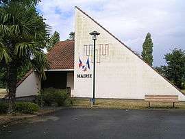 Town hall | |
Location of La Chapelle 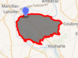
| |
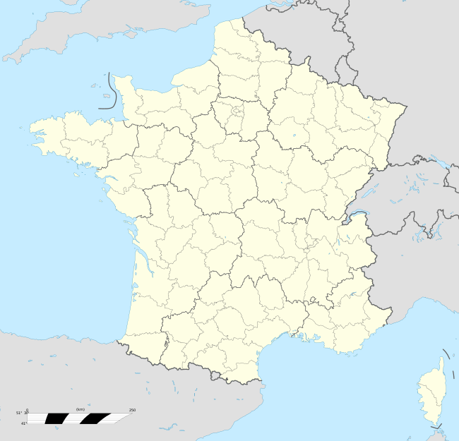  La Chapelle 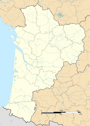 La Chapelle | |
| Coordinates: 45°50′26″N 0°02′17″E | |
| Country | France |
| Region | Nouvelle-Aquitaine |
| Department | Charente |
| Arrondissement | Confolens |
| Canton | Boixe-et-Manslois |
| Intercommunality | Boixe |
| Government | |
| • Mayor (2008–2014) | Sylvain Loison |
| Area 1 | 7.69 km2 (2.97 sq mi) |
| Population (2017-01-01)[1] | 214 |
| • Density | 28/km2 (72/sq mi) |
| Time zone | UTC+01:00 (CET) |
| • Summer (DST) | UTC+02:00 (CEST) |
| INSEE/Postal code | 16081 /16140 |
| Elevation | 45–111 m (148–364 ft) (avg. 65 m or 213 ft) |
| 1 French Land Register data, which excludes lakes, ponds, glaciers > 1 km2 (0.386 sq mi or 247 acres) and river estuaries. | |
Population
| Year | Pop. | ±% |
|---|---|---|
| 1793 | 254 | — |
| 1800 | 292 | +15.0% |
| 1806 | 261 | −10.6% |
| 1821 | 323 | +23.8% |
| 1831 | 350 | +8.4% |
| 1841 | 360 | +2.9% |
| 1846 | 374 | +3.9% |
| 1851 | 368 | −1.6% |
| 1856 | 363 | −1.4% |
| 1861 | 372 | +2.5% |
| 1866 | 350 | −5.9% |
| 1872 | 338 | −3.4% |
| 1876 | 333 | −1.5% |
| 1881 | 339 | +1.8% |
| 1886 | 311 | −8.3% |
| 1891 | 272 | −12.5% |
| 1896 | 264 | −2.9% |
| 1901 | 216 | −18.2% |
| 1906 | 237 | +9.7% |
| 1911 | 224 | −5.5% |
| 1921 | 214 | −4.5% |
| 1926 | 194 | −9.3% |
| 1931 | 200 | +3.1% |
| 1936 | 192 | −4.0% |
| 1946 | 166 | −13.5% |
| 1954 | 131 | −21.1% |
| 1962 | 157 | +19.8% |
| 1968 | 137 | −12.7% |
| 1975 | 140 | +2.2% |
| 1982 | 150 | +7.1% |
| 1990 | 148 | −1.3% |
| 1999 | 151 | +2.0% |
| 2008 | 190 | +25.8% |
See also
References
- "Populations légales 2017". INSEE. Retrieved 6 January 2020.
 |
Wikimedia Commons has media related to La Chapelle (Charente). |
Authority control  |
|
|---|
This article is issued from Wikipedia. The text is licensed under Creative Commons - Attribution - Sharealike. Additional terms may apply for the media files.