Knettishall
Knettishall is a village and civil parish in the West Suffolk district of Suffolk in eastern England. Located on the south bank of the River Little Ouse (the Norfolk-Suffolk border), in 2005 it had a population of 40.[1] From the 2011 census the population of the village was not maintained and it is included in the civil parish of neighbouring Hopton.
| Knettishall | |
|---|---|
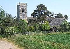
 All Saints Church, Knettishall | |
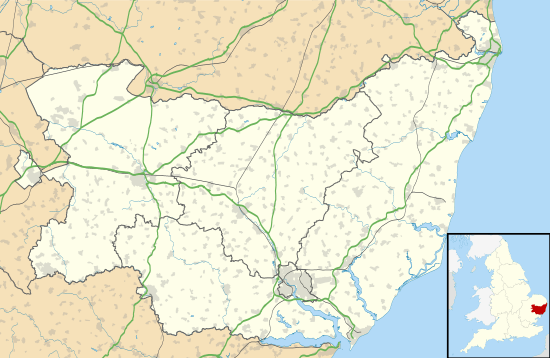
 Knettishall Location within Suffolk | |
| Population | 40 (2005)[1] |
| District | |
| Shire county | |
| Region | |
| Country | England |
| Sovereign state | United Kingdom |
| Post town | Diss |
| Postcode district | IP22 |
| Police | Suffolk |
| Fire | Suffolk |
| Ambulance | East of England |
| UK Parliament | |
The parish contains Knettishall Heath Country Park and the remains of RAF Knettishall, a World War II airfield.
References
- Estimates of Total Population of Areas in Suffolk Archived 2008-12-19 at the Wayback Machine Suffolk County Council
External links
![]()
- Hopton-cum-Knettishall Parish Council
- Knettishall Heath Country Park Suffolk County Council
- RAF Knettishall ControlTowers.co.uk
This article is issued from Wikipedia. The text is licensed under Creative Commons - Attribution - Sharealike. Additional terms may apply for the media files.