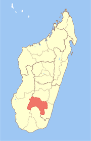
Ivohibe District
Ivohibe is a district in south-eastern Madagascar. It is a part of Ihorombe Region and borders the districts of Ambalavao in north, Vondrozo in east, Midongy Sud in south, Iakora in southwest and Ihosy in west. The area is 4,119 km2 (1,590 sq mi) and the population was estimated to be 34,289 in 2001.[1] The district is further divided into 4 communes.
Ivohibe District | |
|---|---|
District | |
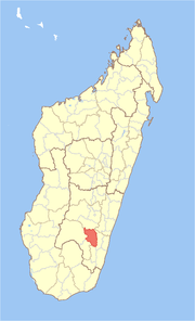 Location in Madagascar | |
| Coordinates: 22°21′S 45°49′E | |
| Country | |
| Region | Ihorombe |
| Area | |
| • Total | 4,119 km2 (1,590 sq mi) |
| Population (2001)[1] | |
| • Total | 34,289 |
| • Density | 8.3/km2 (21/sq mi) |
| Time zone | UTC3 (EAT) |
References and notes
- "Madagascar Administrative units". GeoHive. Retrieved 2008-04-28.
gollark: The osmarks.tk™ server cluster can be started by pressing the "on" button on its chassis.
gollark: Power switch?
gollark: μgollark: what is the meaning of life?
gollark: I think your "bot" may be encountering "Tux1" problems.
gollark: You are! The non-abandoned possibly-not-city around you is a mere illusion.
This article is issued from Wikipedia. The text is licensed under Creative Commons - Attribution - Sharealike. Additional terms may apply for the media files.