Gauriaguet
Gauriaguet is a commune in the Gironde department in southwestern France.
Gauriaguet | |
|---|---|
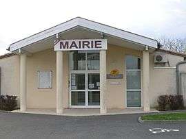 The town hall in Gauriaguet | |
Location of Gauriaguet 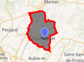
| |
 Gauriaguet  Gauriaguet | |
| Coordinates: 45°02′24″N 0°23′28″W | |
| Country | France |
| Region | Nouvelle-Aquitaine |
| Department | Gironde |
| Arrondissement | Blaye |
| Canton | Le Nord-Gironde |
| Intercommunality | Cubzaguais |
| Government | |
| • Mayor (2008–2014) | Alain Montangon |
| Area 1 | 5.37 km2 (2.07 sq mi) |
| Population (2017-01-01)[1] | 1,283 |
| • Density | 240/km2 (620/sq mi) |
| Time zone | UTC+01:00 (CET) |
| • Summer (DST) | UTC+02:00 (CEST) |
| INSEE/Postal code | 33183 /33240 |
| Elevation | 23–54 m (75–177 ft) (avg. 51 m or 167 ft) |
| 1 French Land Register data, which excludes lakes, ponds, glaciers > 1 km2 (0.386 sq mi or 247 acres) and river estuaries. | |
Population
| Year | Pop. | ±% |
|---|---|---|
| 1962 | 341 | — |
| 1968 | 358 | +5.0% |
| 1975 | 445 | +24.3% |
| 1982 | 645 | +44.9% |
| 1990 | 898 | +39.2% |
| 1999 | 942 | +4.9% |
| 2008 | 1,095 | +16.2% |
gollark: I mostly just disabled everything but the flux gates and potentiometers.
gollark: You can hard-disable the items at least!
gollark: Yes, but probably not good configs.
gollark: Now, my pack isn't entirely *balanced*. But I hold tightly to the principle of it being viable to use different things.
gollark: Yes.
See also
External links
| Wikimedia Commons has media related to Gauriaguet. |
- Official website (in French)
| Authority control |
|
|---|
This article is issued from Wikipedia. The text is licensed under Creative Commons - Attribution - Sharealike. Additional terms may apply for the media files.