Dry Valley, Nevada
Dry Valley is a census-designated place in Lincoln County, Nevada, United States. As of the 2010 census it had a population of 78.[1]
Dry Valley, Nevada | |
|---|---|
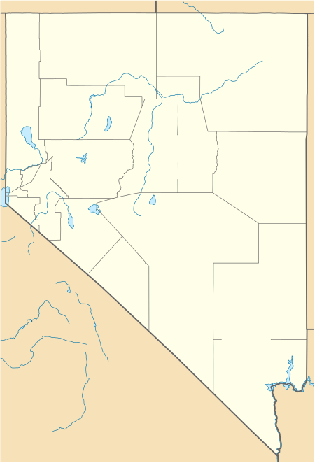 Dry Valley Location within the state of Nevada | |
| Coordinates: 37°53′10″N 114°18′18″W | |
| Country | United States |
| State | Nevada |
| County | Lincoln |
| Area | |
| • Total | 3.8 sq mi (9.8 km2) |
| • Land | 3.8 sq mi (9.8 km2) |
| • Water | 0 sq mi (0 km2) |
| Elevation | 5,154 ft (1,571 m) |
| Population (2010) | |
| • Total | 78 |
| • Density | 21/sq mi (8.0/km2) |
| Time zone | UTC-8 (Pacific (PST)) |
| • Summer (DST) | UTC-7 (PDT) |
| FIPS code | 32-19800 |
Geography
The CDP is located in Dry Valley, a flat basin through which Meadow Valley Wash flows before it exits to the southwest into Condor Canyon. The CDP is located 9 miles (14 km) east of Pioche and is reached by Echo Dam Road, which continues east another 3 miles (5 km) to Echo Canyon State Park.
According to the U.S. Census Bureau, the Dry Valley CDP has an area of 3.8 square miles (9.8 km2), all of it land.[1]
gollark: If you ask other people, even other leftists, I don't think they'll agree very much on what it actually means.
gollark: I'm sure if I ask a bunch of other people they'll disagree on a bunch of details or maybe the whole thing.
gollark: As vaguely defined as "communism" actually is, I don't even agree with it being a particularly admirable goal.
gollark: https://discord.com/channels/424394851170385921/471334670483849216/734310127984705576
gollark: Yep! I checked using advanced "search" capability.
References
- "Geographic Identifiers: 2010 Demographic Profile Data (G001): Dry Valley CDP, Nevada". U.S. Census Bureau, American Factfinder. Archived from the original on February 12, 2020. Retrieved January 25, 2013.
Municipalities and communities of Lincoln County, Nevada, United States | ||
|---|---|---|
| City | 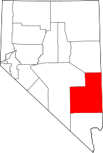 Lincoln County map | |
| CDPs | ||
| Other unincorporated communities | ||
| Ghost towns | ||
| Proposed communities | ||
| Footnotes | ‡This populated place also has portions in an adjacent county or counties | |
This article is issued from Wikipedia. The text is licensed under Creative Commons - Attribution - Sharealike. Additional terms may apply for the media files.