Beaverdam, Nevada
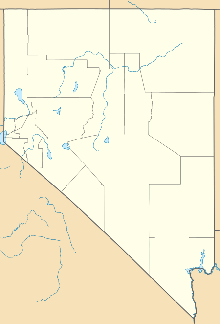
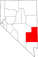
Beaverdam is a census-designated place in Lincoln County, Nevada, United States. As of the 2010 census it had a population of 44.[1]
Beaverdam, Nevada | |
|---|---|
 Beaverdam  Beaverdam | |
| Coordinates: 37°40′52″N 114°27′8″W | |
| Country | United States |
| State | Nevada |
| County | Lincoln |
| Area | |
| • Total | 0.63 sq mi (1.64 km2) |
| • Land | 0.63 sq mi (1.64 km2) |
| • Water | 0 sq mi (0 km2) |
| Elevation | 4,600 ft (1,400 m) |
| Population (2010) | |
| • Total | 44 |
| • Density | 69/sq mi (26.8/km2) |
| Time zone | UTC-8 (Pacific (PST)) |
| • Summer (DST) | UTC-7 (PDT) |
| FIPS code | 32-05125 |
Geography
Beaverdam is located in the Meadow Valley, east of U.S. Route 93, 9 miles (14 km) south of Panaca and 6 miles (10 km) north of Caliente.
According to the U.S. Census Bureau, the Beaverdam CDP has an area of 0.6 square miles (1.6 km2), all of it land.[2]
gollark: Anyone know how `ccemux.nanoTime` works?
gollark: I try and make my stuff reasonably OS/platform-independent.
gollark: blittle?
gollark: PotatOS has a semi-independent VFS/sandbox library, but I had to add a *lot* of patches for sandbox escapes and stuff to PotatoBIOS, so it's hard to use it separately.
gollark: Unless it doesn't.
References
- "Total Population: 2010 Census DEC Summary File 1 (P1), Beaverdam CDP, Nevada". data.census.gov. U.S. Census Bureau. Retrieved May 4, 2020.
- "U.S. Gazetteer Files: 2019: Places: Nevada". U.S. Census Bureau Geography Division. Retrieved April 30, 2020.
This article is issued from Wikipedia. The text is licensed under Creative Commons - Attribution - Sharealike. Additional terms may apply for the media files.
