Croton, New Jersey
Croton is an unincorporated community located along the border of Delaware and Raritan townships in Hunterdon County, New Jersey, United States.[2] County Route 579 (through which the township line runs down the center line) is the main north–south road through the area which consists of mostly forest within the Hunterdon Plateau and some houses and businesses along Route 579 and nearby New Jersey Route 12.[3] The headwaters of the Wickecheoke Creek are located northeast of Croton before it heads downstream through the community on its way to the Delaware River.
Croton, New Jersey | |
|---|---|
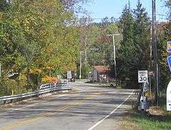
 The settlement as seen from Route 12 | |
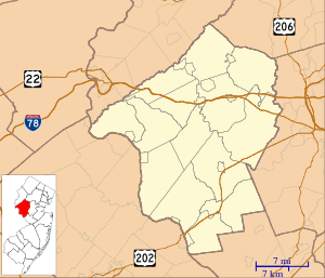
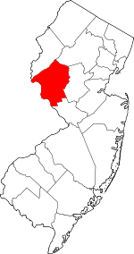
 Croton, New Jersey Location of Croton in Hunterdon County Inset: Location of county within the state of New Jersey  Croton, New Jersey Croton, New Jersey (New Jersey)  Croton, New Jersey Croton, New Jersey (the United States) | |
| Coordinates: 40°30′39″N 74°55′49″W | |
| Country | |
| State | |
| County | Hunterdon |
| Township | Delaware and Raritan |
| Elevation | 505 ft (154 m) |
| GNIS feature ID | 875751[1] |
References
- "Croton". Geographic Names Information System. United States Geological Survey.
- Locality Search, State of New Jersey. Accessed January 30, 2015.
- Google (October 12, 2015). "Aerial view of Croton" (Map). Google Maps. Google. Retrieved October 12, 2015.
This article is issued from Wikipedia. The text is licensed under Creative Commons - Attribution - Sharealike. Additional terms may apply for the media files.
