Mount Airy, New Jersey
Mount Airy is an unincorporated community located within West Amwell Township in Hunterdon County, New Jersey, United States.[3]
Mount Airy, New Jersey | |
|---|---|
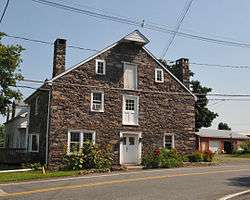 Historic storehouse in Mount Airy | |
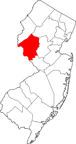
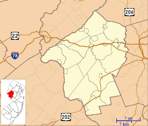 Mount Airy, New Jersey Location of Mount Airy in Hunterdon County Inset: Location of county within the state of New Jersey 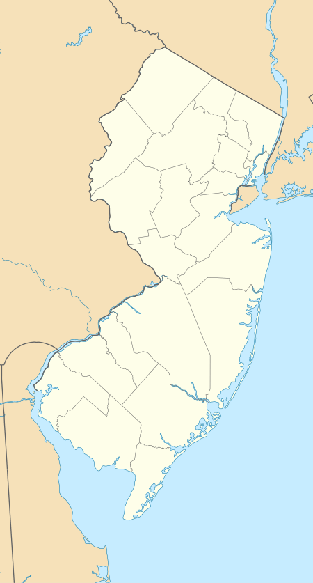 Mount Airy, New Jersey Mount Airy, New Jersey (New Jersey)  Mount Airy, New Jersey Mount Airy, New Jersey (the United States) | |
| Coordinates: 40°23′55″N 74°54′26″W | |
| Country | |
| State | |
| County | Hunterdon |
| Township | West Amwell |
| Elevation | 259 ft (79 m) |
| GNIS feature ID | 878514[1] |
Mount Airy Historic District | |
| NRHP reference No. | 89001943[2] |
|---|---|
| Added to NRHP | November 13, 1989 |
History
A mill existed on the Alexauken Creek east of Mount Airy prior to the Revolution. By 1881, Mount Airy had a school, store, church, wagon and blacksmith shop, grist-mill, and about 12 dwellings. Prior to 1881 a hotel was located at the settlement.[4]
gollark: There is?
gollark: I can read *some* words in much of their stuff, because it's a weird mix of Chinese and English acronyms and things like "github star".
gollark: Yours has been tested and uses inferior bee neurons. Don't use it, people.
gollark: Here is the document: https://github.com/frotms/PaddleOCR2Pytorch. Please try and work out how I can use this æÆÆÆÆÆÆÆÆÆÆÆÆÆÆÆæææææÆÆÆÆÆææææÆÆÆÆÆÆÆÆÆÆÆÆÆÆ.
gollark: HelloBoi™ can be licensed from GTech™ for just 9125 kilobees per annum.
References
- "Mount Airy". Geographic Names Information System. United States Geological Survey.
- "National Register Information System". National Register of Historic Places. National Park Service. March 13, 2009.
- Locality Search, State of New Jersey. Accessed January 31, 2015.
- Snell, James P. (1881). History of Hunterdon and Somerset Counties, New Jersey. Everts & Peck. pp. 346, 349.
| Topics |  | ||
|---|---|---|---|
| Lists by county | |||
| Lists by city |
| ||
| Other lists | |||
| |||
| Districts |
| |
|---|---|---|
| Places of worship | ||
| Houses |
| |
| Buildings |
| |
| Structures |
| |
This article is issued from Wikipedia. The text is licensed under Creative Commons - Attribution - Sharealike. Additional terms may apply for the media files.