Crestline, Nevada
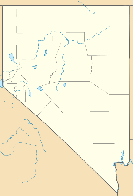
Crestline is a non-agency railroad siding[2] and landfill in Lincoln County, Nevada, United States. Crestline is located near the Utah state line 21.5 miles (34.6 km) east of Caliente.
Crestline, Nevada | |
|---|---|
 Crestline  Crestline | |
| Coordinates: 37°39′49″N 114°07′34″W[1] | |
| Country | United States |
| State | Nevada |
| County | Lincoln |
| Elevation | 5,987 ft (1,825 m) |
| Time zone | UTC-8 (Pacific (PST)) |
| • Summer (DST) | UTC-7 (PDT) |
| Area code(s) | 775 |
| GNIS feature ID | 859420[1] |
Crestline is named because of the position of the siding near the summit of the line.[2] The pass is the highest location on the Salt Lake route.[3]
In the early 1900s, Crestline was the location of a wye, where helper locomotives reversed direction after helping trains climb to the pass.[3]
The Lincoln County Crestline Landfill is located at Crestline.[4]
References
- "Crestline". Geographic Names Information System. United States Geological Survey.
- Carlson, Helen S. (1985). Nevada Place Names: A Geographical Dictionary. University of Nevada Press. ISBN 978-0-87417-094-8. Retrieved June 4, 2020.
- "Lost Among Wild Animals". Reno Evening Gazette. July 21, 1909. Retrieved August 1, 2020.
- "Solid Waste Disposal Site Permit - Lincoln County Crestline Landfill" (PDF). Retrieved June 4, 2020.
Municipalities and communities of Lincoln County, Nevada, United States | ||
|---|---|---|
| City | 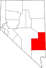 Lincoln County map | |
| CDPs | ||
| Other unincorporated communities | ||
| Ghost towns | ||
| Proposed communities | ||
| Footnotes | ‡This populated place also has portions in an adjacent county or counties | |
This article is issued from Wikipedia. The text is licensed under Creative Commons - Attribution - Sharealike. Additional terms may apply for the media files.