Chotoviny
Chotoviny is a village in the Czech Republic in the Tábor District, South Bohemian Region.
Chotominy | |
|---|---|
Village | |
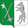
 Flag  Coat of arms | |
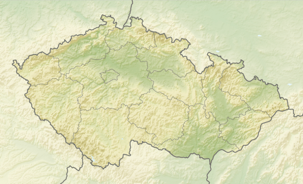
 Chotominy Location in the Czech Republic | |
| Coordinates: 49°28′50″N 14°41′1″E | |
| Country | Czech Republic |
| Region | South Bohemian |
| District | Tábor |
| Government | |
| • Mayor | Mgr. Zdeněk Turek |
| Area | |
| • Total | 31.38 km2 (12.12 sq mi) |
| Elevation | 555 m (1,821 ft) |
| Population (2015) | |
| • Total | 1,742 |
| • Density | 56/km2 (140/sq mi) |
| Time zone | UTC+1 (CET) |
| • Summer (DST) | UTC+2 (CEST) |
| Postal code | 391 37 - 391 43 |
| Website | www |
History
The village of Chotoviny was first mentioned in a document dating from 1266.
Historic Sites
- Zamek Chotoviny - Historically rich, renovated, and the not-so-distant-future site of destination weddings and retreats.
- Castle Chotoviny
- Church of St. Peter and Paul
- Railway bridge on the road Tábor - Prague
- John of Nepomuk statue in front of Castle
- John of Nepomuk statue near railway station
- Parish house
Municipality parts
- Chotoviny
- Beranova Lhota
- Broučkova Lhota
- Červené Záhoří
- Jeníčkova Lhota
- Liderovice
- Moraveč
- Polánka
- Rzavá
- Řevnov
- Sedlečko
- Vrážná
| Wikimedia Commons has media related to Chotoviny. |
gollark: Valvate: also F#.
gollark: Yes, but the amount of hackery to make it work is insane.
gollark: Due to some insane Haskellers again.
gollark: Haskell's got it, even.
gollark: What? That's literally just one function.
This article is issued from Wikipedia. The text is licensed under Creative Commons - Attribution - Sharealike. Additional terms may apply for the media files.