Castellum Dimmidi
Castellum Dimmidi was a Roman castrum located in the south of the Mauretania Caesariensis[1]
History
As the Castellum (castle) implies, the settlement was a fortress near the Fossatum Africae, the southern border of the province of Numidia. It was a prosperous village and hosted a Roman garrison (of the "III Legio Augusta") from roughly 198 to 240 AD.[2]
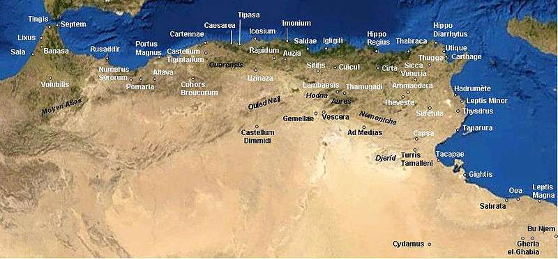
It was located about 290 km (180 mi) south of Algiers (then called Icosium), at the border of the Sahara desert[3]. During the second century of the Roman period it was created under emperor Septimius Severus.[4] It is unclear if the second part of the name, Dimmidi, was a native name transliterated into Latin, or a new name given by the Romans.
In 198 AD the legate propraetor of the Third Legion had sent legionaries there, supported by Pannonian cavalry and under the command of Flavius Superus. The installation of a permanent camp undoubtedly dates to that time. The camp was maintained until about 238 AD, the date of the temporary disbanding of the Third Legion.Excavations have revealed a part of the rampart which protected the soldiers' quarters. The wall was irregular in plan. Today very little can be seen on the site since the excavations were not continued and no attempt was made to consolidate the remains. The inscriptions also have almost all disappeared. They have been published and permit the reconstruction of certain aspects of the life of the camp. About 100 men relieved one another there; they were legionaries and later, after Alexander Severus, Palmyrans.The inscriptions and the paintings (now deposited at the Algiers Museum) give an idea of the soldiers' religious life as it pertained to official and Palmyrene cults.P. Fevrier[5]
Probably -according to Philippe Leveau- the village survived the removal of the legionaries' castrum for another century and half, until the end of the fourth century[6].
Only in 1856 the French Reboud found some remnants, that were fully studied only in 1939-1941 by Gilbert-Charles Picard[7].
Notes
- Map of Castellum Dimmidi
- (in French) Dr. Rebound, "Notes Archéologiques sur les Ruines de Djelfa", php4arab.com. URL last accessed on 8 May 2006. Archived 27 September 2005 at the Wayback Machine
- Photo of the actual area
- Francois Decret, Early Christianity in North Africa (James Clarke & Co, 2011) p6
- Princeton E.: Castellum Dimmidi
- Map showing the region occupation by the Romans
- C. Dimmidi (in French)
See also
Bibliography
- Leveau, Philippe. Caesarea de Maurétanie. Une ville romaine et ses campagnes.École française de Rome. Roma, 1984
- Nacéra Benseddik. De Caesarea à Shershel."Actes du Coll. Intern. sur l’Hist. et l’Arch. de l’Afrique du Nord", Grenoble 1983, C.T.H.S., 19b, 1983, p. 451-456.
- Y. Le Bohec. Dimmidi. Encyclopédie berbère, 15 | Daphnitae – Djado, Aix-en-Provence, Edisud, 1995, p. 2345-2349 ()
%2C_Algeria_04966r.jpg)