Calumet Mountains
The Calumet Mountains are a mountain range in San Bernardino County, California.[1] They are north of Joshua Tree National Park and adjacent to the Sheep Hole Mountains in the Mojave Desert. The highest point is 829 meters (2,720 feet).
| Calumet Mountains | |
|---|---|
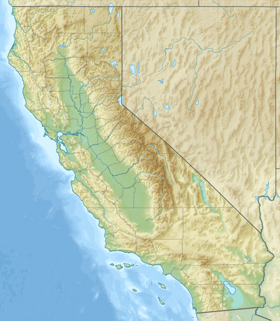 Location of the Calumet Mountains in California [1] | |
| Highest point | |
| Elevation | 829 m (2,720 ft) |
| Geography | |
| Country | United States |
| State | California |
| District | San Bernardino County |
| Range coordinates | 34°13′59.013″N 115°30′43.955″W |
| Topo map | USGS East of Dale Lake |
Sheephole Valley Wilderness Area
The Bureau of Land Management designated and manages the Sheephole Valley Wilderness Area, which includes the Calumet Mountains, within Mojave Trails National Monument. Sheephole Valley Wilderness Area [2] The 194,861-acre (approximate) Sheephole Valley Wilderness is a perfect representation of the basin and range topography typical in the Mojave Desert. The area consists of the northwest to southeast trending granitic boulder strewn Calumet Mountains and Sheep Hole Mountains, and is adjacent to the northern boundary of Joshua Tree National Park.[3]
References
- "Calumet Mountains". Geographic Names Information System. United States Geological Survey. Retrieved 2009-05-04.
- U.S. Dept. of Interior.gov: Map of Mojave Trails National Monument, with Wilderness Areas.
- http://www.blm.gov/ca/pa/wilderness/wa/areas/sheephole_valley.html Archived 2010-07-26 at the Wayback Machine . accessed 6/20/2010
External links
- Official Sheephole Valley Wilderness Area website
- Sheephole Valley Wilderness photographs
- Sheephole Valley Wilderness Area Map
- Bird Checklist for Joshua Tree National Park
| |||||||||||||||||||||
| |||||||||||||||||||||
| |||||||||||||||||||||
| |||||||||||||||||||||
| |||||||||||||||||||||
| |||||||||||||||||||||
| |||||||||||||||||||||
| |||||||||||||||||||||