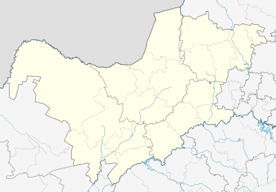
Swartruggens
Swartruggens is a small farming town in North West Province, South Africa that was established in 1875.
Swartruggens | |
|---|---|
.jpg) Ou Stasie in Swartruggens | |
 Swartruggens  Swartruggens | |
| Coordinates: 25°39′S 26°42′E | |
| Country | South Africa |
| Province | North West |
| District | Bojanala Platinum |
| Municipality | Kgetlengrivier |
| Established | 1875 |
| Area | |
| • Total | 10.74 km2 (4.15 sq mi) |
| Population (2011)[1] | |
| • Total | 1,969 |
| • Density | 180/km2 (470/sq mi) |
| Racial makeup (2011) | |
| • Black African | 39.5% |
| • Coloured | 1.8% |
| • Indian/Asian | 5.5% |
| • White | 52.3% |
| • Other | 0.8% |
| First languages (2011) | |
| • Afrikaans | 57.4% |
| • Tswana | 21.9% |
| • English | 14.1% |
| • Zulu | 1.7% |
| • Other | 4.9% |
| Time zone | UTC+2 (SAST) |
| Postal code (street) | 2835 |
| PO box | 2835 |
| Area code | 014 |
Location
The town is located by the Elands River, 69 km from the town of Zeerust, 56 km west of the city of Rustenburg and 34 km north-west of Koster.[2]
It takes its name 'Swartruggens' from a series of hills there, formerly known as Zwartruggens, a Dutch name for 'black ridges'.[3]
History
The town of Swartruggens was founded in 1875 on the farm Brakfontein.
After the Siege of Mafeking, during the Second Anglo-Boer War, one of the supply depots established by Robert Baden-Powell as he moved towards Pretoria was in Swartruggens.[4]
A cemetery for British war dead from the Second Anglo-Boer War is located in the town.[5]
gollark: Yep.
gollark: You don't need the fusion connectors.
gollark: That minus one actually.
gollark: Yep.
gollark: Ah, but you shouldn't bother with breeding.Just run TBU-ox and LEN-236 into oversized efficient reactors.
References
- "Main Place Swartruggens". Census 2011.
- Swartruggens - North West Province South Africa Archived 2012-04-01 at the Wayback Machine
- "Dictionary of Southern African Place Names (Public Domain)". Human Sciences Research Council. p. 424.
- "North West History – Battle of Elands River". Archived from the original on 2012-02-21. Retrieved 2016-08-01.
- Wulfsohn, Lionel (1992-01-01). Rustenburg at War: The Story of Rustenburg and Its Citizens in the First and Second Anglo-Boer Wars. L.M. Wulfsohn. p. 255. ISBN 9780620167697.
This article is issued from Wikipedia. The text is licensed under Creative Commons - Attribution - Sharealike. Additional terms may apply for the media files.
.svg.png)