Tladistad
Tladistad is a small village located in the Moretele subregion of the Bojanala district.
Tladistad | |
|---|---|
 Tladistad 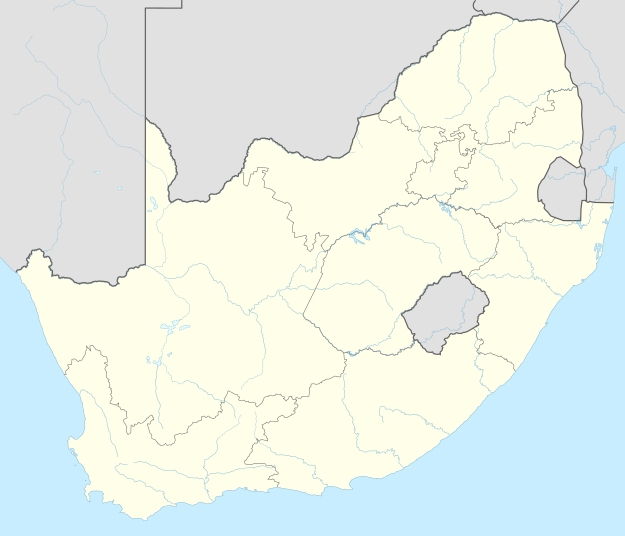 Tladistad | |
| Coordinates: 25.203°S 28.035°E | |
| Country | South Africa |
| Province | North West |
| District | Bojanala |
| Municipality | Moretele |
| Area | |
| • Total | 3.30 km2 (1.27 sq mi) |
| Population (2011)[1] | |
| • Total | 3,007 |
| • Density | 910/km2 (2,400/sq mi) |
| Racial makeup (2011) | |
| • Black African | 99.9% |
| First languages (2011) | |
| • Tswana | 77.7% |
| • Tsonga | 15.3% |
| • Northern Sotho | 2.3% |
| • Zulu | 1.3% |
| • Other | 3.5% |
| Time zone | UTC+2 (SAST) |
| PO box | 0439 |
Schools
Tladistad has three schools, two of which are primary schools, and the third is a secondary school.
- Tladistad Primary School
- Marapo a Thutlwa Primary School
- Seboaneng Secondary School
gollark: Is the encyclopedia much use, apart from its ridiculous trading tiein?
gollark: As an ethical dragon keeper, I basically just go about hatching eggs and either trading them or raising them to adulthood.
gollark: So, *a* zombie month.
gollark: Oh, right.
gollark: It's August.
References
- "Main Place Tladistad". Census 2011.
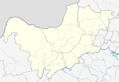
Municipalities and communities of Bojanala Platinum District Municipality, North West | ||
|---|---|---|
District seat: Rustenburg | ||
| Moretele | .svg.png) Bojanala Platinum District within South Africa | |
| Madibeng | ||
| Rustenburg | ||
| Kgetlengrivier | ||
| Moses Kotane | ||
This article is issued from Wikipedia. The text is licensed under Creative Commons - Attribution - Sharealike. Additional terms may apply for the media files.