Bobs Creek (Pennsylvania)
Bobs Creek is a tributary of Dunning Creek in south west/south central Pennsylvania in the United States.[1]
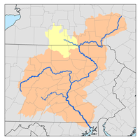
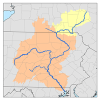
Via Dunning Creek, it is part of the watershed of the Raystown Branch Juniata River, flowing to the Juniata River, the Susquehanna River, and Chesapeake Bay. Bobs Creek is 21.7 miles (34.9 km) long[2] and is rated by American Whitewater as having a class I-III section for rafting and kayaking.[3]
Bridges
- The Osterburg Covered Bridge crosses Bobs Creek in East St. Clair Township, Pennsylvania.[4]
gollark: Length-terminated string better.
gollark: It can use an optimized search process to try and find proofs if they exist, but otherwise it has to fallback to brute force, so your compiles can be fast iff your program is right.
gollark: The Macron compiler is somewhat slow as a result.
gollark: It basically just iterates through all possible proofs, and sees if one of them proves that the program is sound and safe.
gollark: Macron is maximally safe in all ways, yes.
See also
References
- Gertler, Edward. Keystone Canoeing, Seneca Press, 2004. ISBN 0-9749692-0-6
- U.S. Geological Survey. National Hydrography Dataset high-resolution flowline data. The National Map Archived 2012-04-05 at WebCite, accessed August 8, 2011
- "Pennsylvania whitewater, Bobs Creek". Riverfacts.com. Retrieved 25 September 2016.
- "National Historic Landmarks & National Register of Historic Places in Pennsylvania" (Searchable database). CRGIS: Cultural Resources Geographic Information System. Note: This includes Susan M. Zacher and Barbara Hufnagel (n.d.). "National Register of Historic Places Inventory Nomination Form: Osterburg Covered Bridge" (PDF). Archived from the original (PDF) on 2012-06-05. Retrieved 2011-11-19.
This article is issued from Wikipedia. The text is licensed under Creative Commons - Attribution - Sharealike. Additional terms may apply for the media files.
