Alta, Indiana
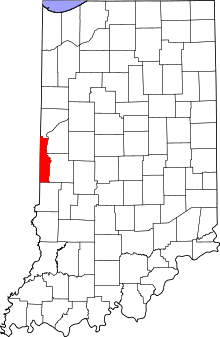
Alta is an unincorporated community in Helt Township, Vermillion County, in the U.S. state of Indiana.[2]
Alta, Indiana | |
|---|---|
 Vermillion County's location in Indiana | |
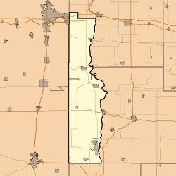
 Alta Location in Vermillion County | |
| Coordinates: 39°46′20″N 87°23′12″W | |
| Country | United States |
| State | Indiana |
| County | Vermillion |
| Township | Helt |
| Elevation | 502 ft (153 m) |
| Time zone | UTC-5 (Eastern (EST)) |
| • Summer (DST) | UTC-4 (EDT) |
| ZIP code | 47854 |
| Area code(s) | 765 |
| GNIS feature ID | 430118 |
History
The town was laid out in 1871. The name probably refers to "elevation".[3]
Geography
Alta is located half a mile west of the Wabash River and about half a mile south of the town of Hillsdale, around the intersection of county roads 775 South and 400 East. A north-south CSX railroad line runs just east of Alta.
gollark: Not particularly. Or you sort of could but it would be impractically large or HILARIOUSLY expensive.
gollark: In laptops? HAHAHAHFHASFSGSFjas gfasgasgbasg.
gollark: ... almost certainly not.
gollark: Just buy a sensible standard x86 device and install GNU++++++Linux on it.
gollark: Yes. Do not fund Apple's steady increasing of the locked-down-ness.
References
- "US Board on Geographic Names". United States Geological Survey. October 25, 2007. Retrieved 2016-07-15.
- "Alta, Indiana". Geographic Names Information System. United States Geological Survey. Retrieved July 31, 2017.
- Baker, Ronald L.; Marvin Carmony (1975). Indiana Place Names. Indiana University Press. p. 3. ISBN 0-253-14167-2.
This article is issued from Wikipedia. The text is licensed under Creative Commons - Attribution - Sharealike. Additional terms may apply for the media files.