Alleruusakasiit
Alleruusakasiit, former spelling Agdlerussakasit, is a mountain in the Kujalleq municipality, southern Greenland.
| Alleruusakasiit | |
|---|---|
| Agdlerussakasit | |
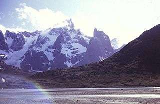
 View of Stordalen Havn in Torsukattak Fjord with the Alleruusakasiit in the background | |
| Highest point | |
| Elevation | 1,743.7 m (5,721 ft) |
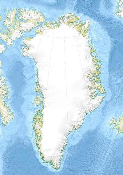
| Coordinates | 60°8′8″N 44°31′44″W [1] |
| Geography | |
Geography
This mountain is a 1,743.7 m high largely unglaciated rocky summit rising 2.8 km west of the shore of Torsukattak Fjord[2] located across the valley south of Angiartarfik.[3]
Alleruusakasiit is famous for its massive eastern cliff, known as the Thumbnail.[4]
gollark: For portability.
gollark: Anyway, glibc is also apparently somewhat slow and bee, so you should just do all the syscalls yourself.
gollark: Yes, just never check the return value.
gollark: If you *do* somehow run out of memory, then the obvious solution is just to dynamically load Go into your process and have its garbage collector work on your data structures.
gollark: Also, `mmap` any file you need to read onto random pointers, since I heard `mmap` is fast.
References
- GoogleEarth
- "Torsukattak". Mapcarta. Retrieved 10 June 2016.
- "Later visits to Stordalens Havn". 1975 University of St Andrews Greenland Expedition. Retrieved 10 June 2016.
- Ian Parnell: Learning Process. American Alpine Journal (AAJ) 2001, pp. 57–70, Greenland: The Thumbnail. Fragile moments, pp. 61–65
This article is issued from Wikipedia. The text is licensed under Creative Commons - Attribution - Sharealike. Additional terms may apply for the media files.
