Margaretatop
Margaretatop is a mountain in eastern Greenland. Administratively it is part of the Northeast Greenland National Park.[2]
| Margaretatop | |
|---|---|
 Margaretatop | |
| Highest point | |
| Elevation | 2,360 m (7,740 ft) [1] |
| Coordinates | 73°23.1′N 26°13.3′W [1] |
| Geography | |
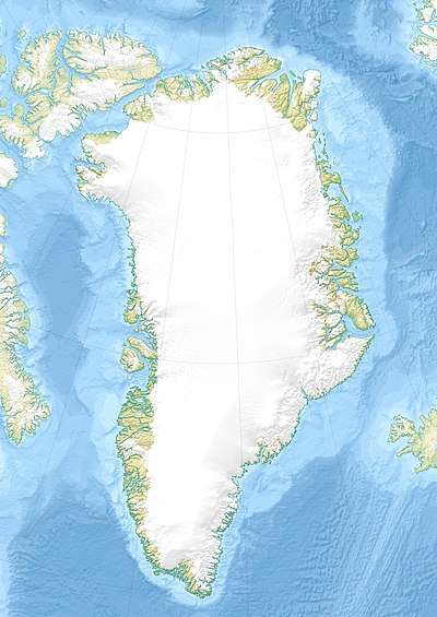
| Location | Andrée Land (Greenland) |
History
At the time of Lauge Koch's 1949–51 expeditions this summit was named after Margareta Hediger by American geologist John Haller,[1] a Fellow of the Geological Society of America.[3]
The peak is marked as "Margaretatopp"[4] and "Margarita Spids" in some maps.[1] Margaretasø is a small lake in neighboring Rendal at 73°25.5′N 26°39.0′W where the reflection of the mountain can be seen on its surface. This lake was named by John Haller after the same person.[1]
Geography
Margaretatop is the highest point of Andrée Land.
It is a roughly 2,360 m (7,740 ft) high peak that rises in the southwestern part of Andrée Land, east of the Rendal valley and northeast of the shore of the Isfjord, a northern branch of Kaiser Franz Joseph Fjord.[5] This mountain is marked as a 7,743-foot-high (2,360 m) peak in the Defense Mapping Agency Greenland Navigation charts.
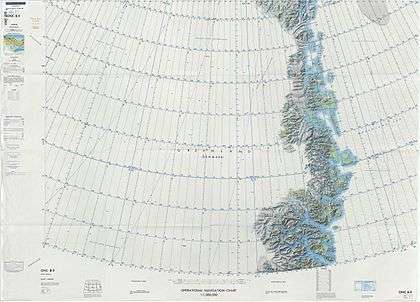 Map of Northeastern Greenland |
See also
References
- "Catalogue of place names in northern East Greenland". Geological Survey of Denmark. Retrieved 30 September 2019.
- Google Earth
- Memorial to John Haller – Geological Society of America
- Peakbagger, Margaretatopp
- "Margaretatopp". Mapcarta. Retrieved 1 October 2019.