War Eagle Cove, Arkansas
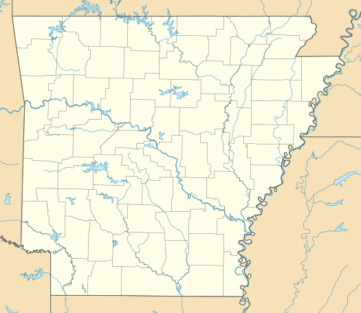
War Eagle Cove is an unincorporated community in Brush Creek Township, Washington County, Arkansas, United States.[1] The Cove is located on the War Eagle Creek arm of Beaver Lake.[2][3]
War Eagle Cove, Arkansas | |
|---|---|
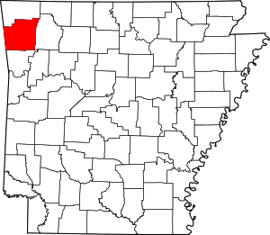
 War Eagle Cove, Arkansas War Eagle Cove's position in Arkansas.  War Eagle Cove, Arkansas War Eagle Cove, Arkansas (the United States) | |
| Coordinates: 36°10′34″N 93°56′06″W | |
| Country | United States |
| State | Arkansas |
| County | Washington |
| Township | Brush Creek |
| Elevation | 1,158 ft (353 m) |
| Time zone | UTC-6 (Central (CST)) |
| • Summer (DST) | UTC-5 (CDT) |
| Area code(s) | 479 |
| GNIS feature ID | 65475 |
| U.S. Geological Survey Geographic Names Information System: War Eagle Cove, Arkansas | |
References
- "Feature Detail Report for: War Eagle Cove, Arkansas". United States Geological Survey. Retrieved September 13, 2010.
- Spring Valley, Arkansas, 7.5 Minute Topographic Quadrangle, USGS, 1958 (revised 1977)
- USGS Topoview
This article is issued from Wikipedia. The text is licensed under Creative Commons - Attribution - Sharealike. Additional terms may apply for the media files.