Roadstown, New Jersey
Roadstown is an unincorporated community located within Stow Creek Township, in Cumberland County, New Jersey, United States.[1][2]
Roadstown, New Jersey | |
|---|---|
 Roadstown, New Jersey 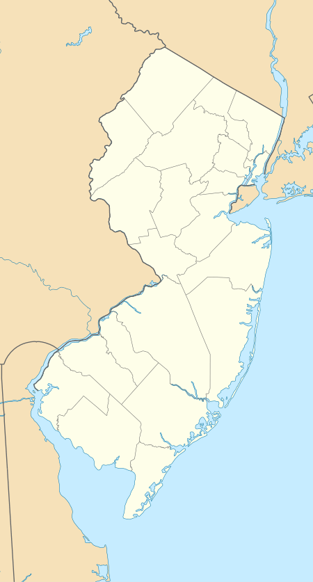 Roadstown, New Jersey  Roadstown, New Jersey | |
| Coordinates: 39°26′27″N 75°19′06″W | |
| Country | |
| State | |
| County | Cumberland |
| Township | Stow Creek |
| Elevation | 35 m (115 ft) |
| Time zone | UTC-5 (Eastern (EST)) |
| • Summer (DST) | UTC-4 (EDT) |
| GNIS feature ID | 879728[1] |
Roadstown is located at the intersection of County Route 620 and 626, approximately 3 mi (4.8 km) southwest of Shiloh.
History
Prior to the American Revolution, Roadstown was considered an important settlement in the region. Roadstown was then known as "Sayre's Cross-Roads" or "Sayre's Corners", named for Ananias Sayre, "a leading citizen" and county sheriff.[1][3] Maskell Ware settled in Roadstown in 1789, where he worked as a farmer and manufacturer of hand-made chairs.[4] Ware chairs are today considered collectors items.[5]
The Cohansey Baptist Church relocated to Roadstown in 1802. Established in 1683, it is today the third oldest Baptist church in New Jersey.[6][7] A post office was established in 1803.[8] In 1834, Roadstown had a tavern, two stores, 20 dwellings, and "was peopled principally by the cultivators of the soil".[9] By 1882, the population had grown to 200.[10]
Notable people
- Harris Flanagin, 7th governor of Arkansas.[11]
- Charles Elmer Hires, inventor of root beer and namesake of Hires Root Beer. Lived in Roadstown as a child, and may have been born there.[12]
References
- U.S. Geological Survey Geographic Names Information System: Roadstown
- Locality Search, State of New Jersey. Accessed December 30, 2014.
- Elmer, Lucius Quintus Cincinnatus (1869). History of the Early Settlement and Progress of Cumberland County, New Jersey: And of the Currency of this and Adjoining Colonies. George F. Nixon. pp. 16.
- Dependahl Waters, Deborah (1979). "Wares and Chairs: A Reappraisal of the Documents". American Furniture and its Makers. University of Chicago Press. 13: 161–173. JSTOR 1180605.
- Resnik, Virginia M. (July 2, 1987). "The Hands that Hold an Old Craft". philly.com.
- "Cohansey Baptist Church at Roadstown". Cumberland County. Retrieved December 2014. Check date values in:
|accessdate=(help) - Mollick, Sharon. "Mapping the Dead" (PDF). Cumberland County Department of Planning & Development. Retrieved December 2014. Check date values in:
|accessdate=(help) - "Hopewell Township" (PDF). Hopewell Township. 1998.
- Gordon, Thomas Francis (1834). The History of New Jersey: From Its Discovery by Europeans, to the Adoption of the Federal Constitution. D. Fenton. pp. 227.
- Edwards, Richard Edwards (1882). Industries of New Jersey: Essex County Including City of Newark. Historical Publishing Company. p. 120.
- "Arkansas Governor Harris Flanagin". National Governors Association. Retrieved December 2014. Check date values in:
|accessdate=(help) - Bennett, Eileen (June 28, 1998). "Local Historians Argue Over the Root of the Story of How Hires First Brewed Beer that Made Millions". Cumberland County.
Municipalities and communities of Cumberland County, New Jersey, United States | ||
|---|---|---|
| Cities | 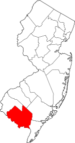 Map of New Jersey highlighting Cumberland County | |
| Borough | ||
| Townships | ||
| CDPs | ||
| Other unincorporated communities | ||