O' Valley
O' Valley or Ouchterlony Valley is a Town Panchayat in the Gudalur Taluk of The Nilgiris district in the Indian state of Tamil Nadu. The name is a contraction of an older name after a James Ouchterlony, who established coffee plantations in the area. This panchayat area is surrounded with beautiful mountains and the waterfalls from the mountains add to the visual treat. One can enjoy by seeing cardamom, clove, pepper, tea and coffee plantations on the way to O' Valley. The place being located between Mudumalai National Park and New Amarambalam Reserved Forest, is famous for its flora and fauna. The place is surrounded by valleys, streams and water falls of which the sound is very soothing and is a mesmeric effect.
O' Valley | |
|---|---|
Town Panchayat | |
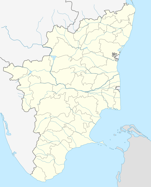 O' Valley Location in Tamil Nadu, India | |
| Coordinates: 11°27′17″N 76°28′43″E | |
| Country | |
| State | Tamil Nadu |
| District | The Nilgiris |
| Population (2011)[1] | |
| • Total | 21,943 |
| Languages | |
| • Official | Tamil |
| Time zone | UTC+5:30 (IST) |
Demographics
As of 2011 India census,[2] there are total 5,307 families residing in the O' Valley. The total population of O' Valley is 21,943 out of which 10,672 are males and 11,271 are females thus the Average Sex Ratio of O' Valley is 1,056. The population of children of age 0–6 years in O' Valley city is 2203 which is 10% of the total population. There are 1118 male children and 1085 female children between the age 0–6 years. Thus as per the Census 2011, the Child Sex Ratio of O' Valley is 970 which is less than Average Sex Ratio (1,056). 64.36% of the population are Hindus, 25.78% of the population are Muslims, 9.77% of the population are Christians and the rest belong to other religions.
As per the Census 2011, the literacy rate of O' Valley is 86.7%. Thus O' Valley has higher literacy rate compared to 85.2% of The Nilgiris district. The male literacy rate is 83.1% and the female literacy rate is 73.2% in O' Valley.
O' Valley Town Panchayat has total administration over 5,307 houses to which it supplies basic amenities like water and sewerage. It is also authorize to build roads within Town Panchayat limits and impose taxes on properties coming under its jurisdiction.
O' Valley is further divided into 18 wards. A ward is a local authority area, typically used for electoral purposes.
Language
The official language of O' Valley is Tamil. Since The Nilgiris district shares its border with Kerala, quite a few number of people here in the region speak Malayalam as well. Kannada is also another language spoken by minority of the population here. Karnataka too shares its border with the district.
Economy
Agriculture is the main economic activity of people. Major crops are tea, coffee and black pepper. Besides these, plantain, ginger, tamarind, cardamom, clove and tapioca are important crops raised.
Out of total population in the region, 10,350 were engaged in work activities. 79.5% of workers describe their work as Main Work (Employment or Earning more than 6 Months) while 20.5% were involved in Marginal activity providing livelihood for less than 6 months. Of 10,350 workers engaged in Main Work, 81 were cultivators (owner or co-owner) while 1,875 were Agricultural labourers.
Temples
This place is famous for its Murugan Temple situated on a hill called Sandanamalai. The temple is 18 km from Gudalur.
Churches
St Mary's Malankara Catholic Pilgrim Church at Chelivayal, St Sebastian's Church at Dharmagiri and St Antony's Church at Glenvance are the few famous churches in the region.
How To Reach
- O' Valley Town Panchayat is located 65 km from Ooty, the headquarters of the Nilgiris district.
- Nearest Railway Station is in Ooty
- Nearest Airport is Calicut International Airport which is located in Kerala and is 110 km from O'Valley. The nearest airport in the state is Coimbatore International Airport and is 150 km from O'Valley
- All the buses towards O'Valley starts from Gudalur bus stand.
- We can find buses to all these places in O' Valley from Gudalur Bus Stand:[3] Periasholai, Yellamalai, Seaforth, Glenvance, Moolakkad, Gandhinagar, Arottuparai, Quind, Dharmagiri and Chelivayal
Image Gallery
 Murugan temple on the Sandanamalai hill
 A river flowing through O'Valley
 Wild elephants grazing in a tea estate in O' Valley
 A beautiful waterfalls in full flow in O'Valley
References
- "Census of India Search details". censusindia.gov.in. Retrieved 10 May 2015.
- https://www.censusindia.co.in/towns/o-valley-population-the-nilgiris-tamil-nadu-803561
- http://townpanchayat.in/ovalley/town_profile