Nerrina, Victoria
Nerrina is a suburb of Ballarat, Victoria, Australia on the north-eastern rural-urban fringe of the city, 4 kilometres (2.5 mi) east of the Central Business District. The population at the 2016 census was 962.[1]
| Nerrina Ballarat, Victoria | |||||||||||||||
|---|---|---|---|---|---|---|---|---|---|---|---|---|---|---|---|
 Nerrina | |||||||||||||||
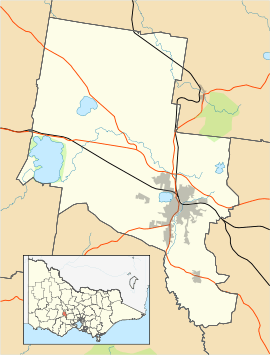
| Coordinates | 37.533°S 143.903°E | ||||||||||||||
| Population | 962 (2016 census)[1] | ||||||||||||||
| Postcode(s) | 3350 | ||||||||||||||
| Location | 4 km (2 mi) from Ballarat Central | ||||||||||||||
| LGA(s) | City of Ballarat | ||||||||||||||
| State electorate(s) | Wendouree | ||||||||||||||
| Federal Division(s) | Ballarat | ||||||||||||||
| |||||||||||||||
Nerrina is a semi-rural suburb with a very small township and commercial area. It is located on the foothills of the Brown Hill range and straddles both sides of the Western Freeway.

A view of the Western Freeway (M8) at Nerrina looking west toward Doodts Road, Ballarat North and Invermay from the Nerrina pedestrian overpass.
History
Historically, this area was known as Nerrena (named after the Nerrena Creek) and then Little Bendigo (after Bendigo, Victoria). Little Bendigo Post Office opened on 1 June 1862, was renamed Nerrina in 1881 and closed in 1971.[2]
Education
The local primary school is Little Bendigo Primary School.
References
- Australian Bureau of Statistics (27 June 2017). "Nerrina (State Suburb)". 2016 Census QuickStats. Retrieved 7 July 2017.

- Premier Postal History, Post Office List, retrieved 12 August 2012
This article is issued from Wikipedia. The text is licensed under Creative Commons - Attribution - Sharealike. Additional terms may apply for the media files.