Canadian, Victoria
Canadian is a suburb east of the regional city of Ballarat, Victoria, Australia on the rural-urban fringe. At the 2016 census, Canadian had a population of 3,609.[1]
| Canadian Ballarat, Victoria | |||||||||||||||
|---|---|---|---|---|---|---|---|---|---|---|---|---|---|---|---|
_-_view_from_Sovereign_Hill_2007.jpg) A view over the suburb of Canadian from the Sovereign Hill open air museum's poppet head. | |||||||||||||||
 Canadian | |||||||||||||||
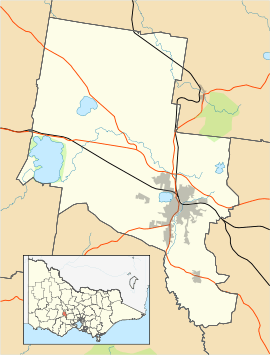
| Coordinates | 37.576°S 143.877°E | ||||||||||||||
| Population | 3,609 (2016 census)[1] | ||||||||||||||
| • Density | 468.7/km2 (1,214/sq mi) | ||||||||||||||
| Postcode(s) | 3350 | ||||||||||||||
| Area | 7.7 km2 (3.0 sq mi) | ||||||||||||||
| Location | 4 km (2 mi) SE of Ballarat | ||||||||||||||
| LGA(s) | City of Ballarat | ||||||||||||||
| State electorate(s) | Buninyong | ||||||||||||||
| Federal Division(s) | Ballarat | ||||||||||||||
| |||||||||||||||
It is primarily a residential area, but has a school, a small shopping area, and several parks and reserves including Sparrow Ground, which has been the subject of much community debate.
The suburb was originally named Canadian Gully after Canadian immigrant gold digger "Captain" Henry Ross, famous for his role in the Eureka Rebellion.[2]
History
Canadian Post Office opened on 1 March 1886 and closed in 1988.[3]
Today
Canadian is also the location of Lake Esmond, which was formerly a quarry for Eureka Tile Works until 1982, and later converted into a lake and recreational area that opened on 6 June 1988. Lake Esmond is often used by various Rotary Clubs, and is maintained by the City of Ballarat, and the Rotary Club of East Ballarat.[4]
References
- Australian Bureau of Statistics (27 June 2017). "Canadian (State Suburb)". 2016 Census QuickStats. Retrieved 7 July 2017.

- http://museumvictoria.com.au/origins/history.aspx?pid=7
- Premier Postal History. "Post Office List". Retrieved 11 April 2008.
- "Lake Esmond - City of Ballarat". Archived from the original on 4 July 2007.